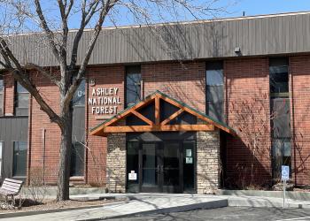
Welcome to Ashley National Forest
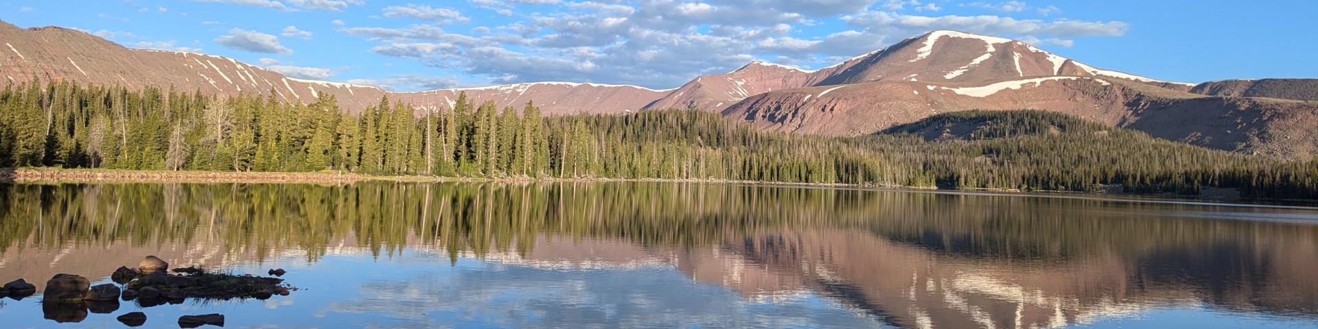
The Ashley National Forest encompasses about 1.4 million acres in northeastern Utah and southwestern Wyoming. Of the total acres, 276,175 are High Uintas Wilderness.
The national forest is located in three major areas: the northern and southern slopes of the Uinta Mountains, the Wyoming Basin, and the Tavaputs Plateau. Elevations range from 5,500 feet on the Green River to 13,528 feet at the summit of King’s Peak (the highest point in Utah). About 70 percent of the Ashley falls within the Uinta Mountains. This is the largest east-west trending mountain range in the lower 48 states.
In the Spotlight
What's new on the Ashley National Forest? The latest news on the hottest topics is available here. Stay tuned, as these topics change.
Ashley National Forest Newsletter
Quarterly Project Planning Newsletter
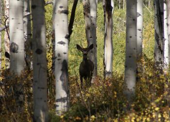
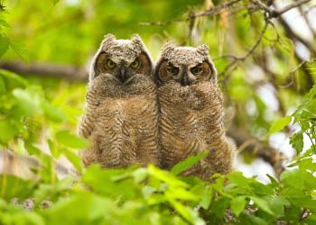
Visit the Forest
The Ashley National Forest posts critical information via alerts, notifications, fire information for your safety.
Videos - Visit the Ashley National Forest
Flaming Gorge Reservoir Water Levels - Recreation Facility Updates