

McCart Lookout
McCart Lookout is a historic L-4 structure located on McCart Peak east of Sula, Montana. Restored to reflect its 1940s appearance, it features period-appropriate furnishings, cookware, and fixtures. Positioned along the edge of the Anaconda Pintler Wilderness, it offers expansive views of the Pintler Mountains to the east and the Bitterroot Mountains to the west.
Reservations
Make Reservations HereGeneral Information
The lookout is a single 14-by-14-foot room with a bed platform suitable for two people, with space for two additional occupants on the floor. A 30‑inch catwalk encircles the exterior. Heating is provided by a wood stove; visitors may need to cut firewood from dead and down material using the provided bow saw and ax. A two‑burner propane camp stove and a Coleman lantern are available, but propane canisters are not provided. Basic pots, pans, dishes, and utensils are supplied. Water is not available. A wooden outhouse serves the site, and visitors must bring their own toilet paper.
Mid-May to September
- Check out: 12:00 p.m.
- Check in: 2:00 p.m.
- Limit of 4 people
- Pack it In - Pack it Out
- Food Storage REQUIRED
- Weed free forage REQUIRED
Overnight Use:
$30 per night
Contact the Darby/Sula Ranger Station at (406) 821‑3913 one week before your arrival to obtain the current lock combination.
Contact Name: Darby-Sula Ranger Station
Contact Phone: (406) 821-3913
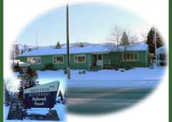
Address: 712 N. Main Darby, MT 59829
Phone: 406-821-3913
Hours: Monday-Friday, 8:00 a.m. - 4:30 p.m. (Closed on federal holidays)
Getting There
Latitude / Longitude
Latitude: 45.88500001
Longitude: -113.7169444
Directions
From Sula, Montana, travel 0.2 miles northwest on Highway 93, then turn right (northeast) onto East Fork Road (County Road 472). Continue approximately 15 miles and turn right (south) onto Forest Service Road 435 (Johnson Peak Trail). Follow this road for 5.5 miles to the trailhead, then hike 1.5 miles to the lookout.
Facility and Amenity Information
Restrooms
Vault Toilet(s)Water
Potable water is not available at this site.