





Grass-Lunch Trail # 707
The Grass-Lunch trail is 3.0 miles long, located entirely in the Frank Church River of No Return Wilderness. It begins at Trail 12 and ends at Trail 65. The trail is open for the following uses: Horseback Riding and Hiking.
Specific Trail Information
Trail Number
Trail Type
General Information
Elevation at Trail #12 is 7,700 feet, and at Trail #65 is 6,055 feet. This equals an elevation change of 1,645 feet. The trail runs a ridge between Lunch Creek and Grass Gulch.
Bitterroot National Forest Visitor Use Map: South Half
Season of use is typically July into November.
No fees.
No permits required.
No potable water and few place to find water naturally. Bring enough water for the conditions and the weather.
Trail is located entirely in the Frank Church River of No Return Wilderness area. Please follow all rules and regulations of the Central Idaho Wilderness Act of 1980. All motorized mechanized travel and equipment are restricted from entering the Wilderness area.
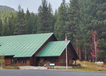
Address: 6735 West Fork Road Darby, MT 59829
Phone: 406-821-3269
Hours: Monday-Friday, 8:00 a.m. - 4:30 p.m. (Closed on federal holidays)
Getting There
Trailhead/Starting Points
Forest Road #224 at Hells Half Acre Lookout.
Parking
There is no parking for this specific trail, as it lies between two other trails. Parking can be found up towards Hells Half Acre Lookout or down near the Magruder Ranger Station.
Directions
From Forest Road #468, turn south on Forest Road #224 and drive to the Hells Half Acre Lookout. Park below the gate. Travel 1 mile west on the Grass Ridge trail #65 to get to the top of trail #707.
Additional Information
Operated By
Forest Service


