
Interactive Maps
Interactive Visitor Map

The Forest Service Interactive Visitor Map provides the public with an online view of Forest Service roads, trails, recreation sites, wilderness areas, and wild & scenic rivers. You can view the map online or download the app for your mobile device.
Forest Service Base Maps
Forest Service Base Maps are standard map products generally produced to cover all lands administered by the Forest Service. The Geospatial Technology and Applications Center (GTAC) produces a variety of base maps at a range of scales.
National Forest System Land Ownership and Boundary Info
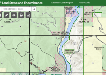
The Land Status and Encumbrance Map Service Viewer is an interactive web-based mapping tool designed to allow users to view the Forest Service Land Status Record (LSRS) data. The LSRS data published via this map service is considered to be the authoritative source for Forest Service ownership.
Northern Region Interactive Maps
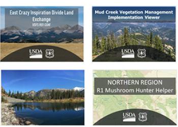
The Northern Region publishes a collection of interactive maps, story maps, and web experiences on a variety of topics for Forests across the Region.
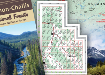
FSTopo (Quad) Maps

FSTopo is the Forest Service series of large scale topographic maps. FSTopo maps are 7.5 minute, 1:24,000-scale over the conterminous United States, and 15 minute X 20-22.5 minute, 1:63,360-scale over Alaska.
Fire History Map
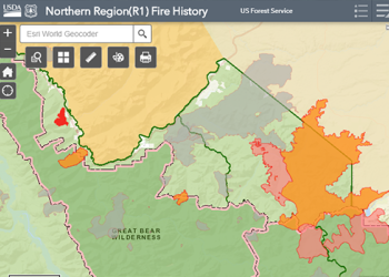
Fire plays a natural role in the Kootenai National Forest and NW Montana ecosystem. Use our interactive map viewer to explore the wildland fire history for the Northern Region of the Forest Service