
South San Juan Wilderness: Rio Grande
The South San Juan Wilderness encompasses the southeastern extent of the San Juan Mountain Range, including a segment of the Continental Divide. Originally designated as wilderness by Congress in 1980, it is a component of the National Wilderness Preservation System and now maintains 158,790 acres.
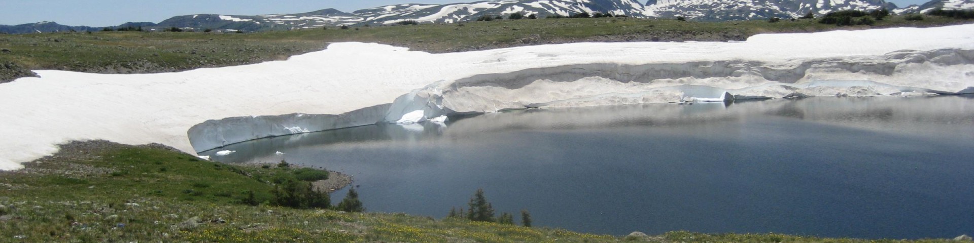
Ages of volcanic activity followed by the carving of glaciers left the rough, imposing terrain of the remote South San Juan Wilderness, an area characterized by steep slopes above wide U-shaped valleys cut deeper by eroding streams. You'll find high peaks and cliffs, as well as jagged pinnacles and ragged ridges, making travel difficult. Elevations rise as high as 13,300 feet.
Thirty-two lakes, most of them formed by glacial activity, hold much of the area's moisture and drain into turbulent creeks. The Conejos, San Juan, and Blanco Rivers have their headwaters here.
You'll find about 180 miles of trails, and some of the most exemplary backpacking in the state. The Continental Divide crosses the heart of the Wilderness for 42 miles. The South Fork Conejos Trail #724 is well traveled and easy to follow. Conejos Peak Trail climbs north to the summit of Conejos Peak and offers a fantastic view into the heart of the area.
A great bear was killed here in 1979, the last known Colorado grizzly. But rumor, extrapolation, and scientific evidence all join hands to suggest strongly that more grizzlies, if they still live anywhere in Colorado, inhabit the recesses of this rugged Wilderness, which many claim as the wildest left in the state.
Please also see San Juan National Forest South San Juan Wilderness information.
Please always use Leave No Trace techniques to help keep these areas wild, clean, and pristine.
General Information
Topo maps
Forest Service Topography Maps: These maps overlay Forest Service assets, such as roads, trails, and campgrounds, on USGS's topographic maps. They are available for download by quadrangle.
Buy maps online
The USGS Store offers a full, nationwide selection of National Forest, Ranger District, Wilderness, and Specialty Maps for purchase online or by phone, fax, and mail.
Colorado’s Fourteeners
Find more information about climbing Colorado’s peaks at the Rocky Mountain Region 14ers page.
Wilderness.net
Go to Wilderness.net for additional maps and information about Wilderness.
Wilderness restrictions apply.
Find the restrictions on the Alerts Page.
Leash laaws apply.
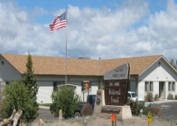
Address: 15571 County Road T5 La Jara, CO 81140
Phone: (719) 274-8971
Hours: Monday through Friday / 8:00 to 4:30 (Closed on federal holidays)
Getting There
Elevation
13,300'
Directions
See also:
Facility and Amenity Information
Horse/Pack Animal Information
Horse/Pack animals are allowed at this site.
Be sure to only use certified weed-free feed.