
Hiking
Over 500 miles of trails offer a vareity of experiences, from the Rio Grande Gorge to the highest peak in New Mexico.
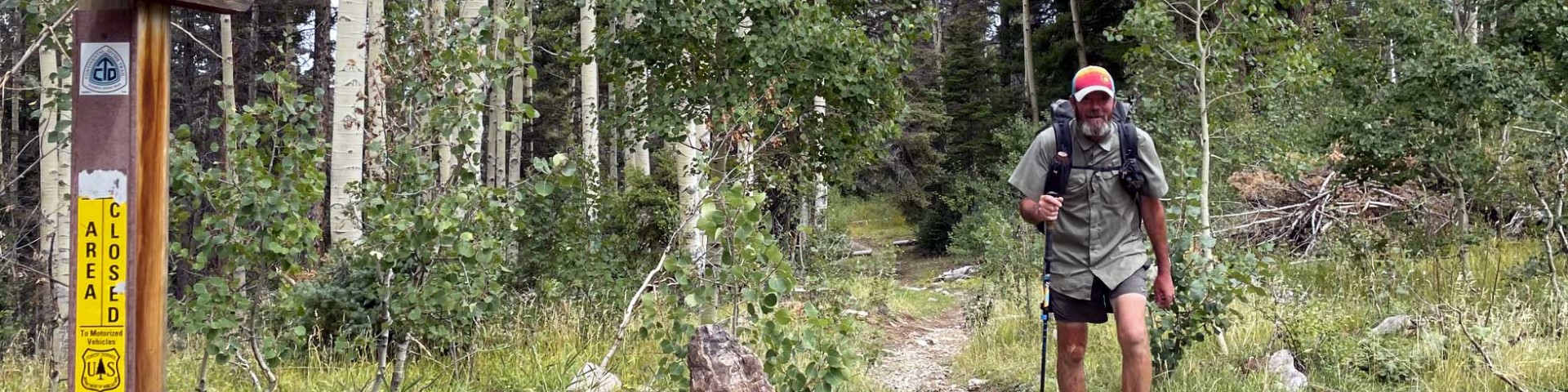
General Hiking
Our recreation database is under construction. Please consult our temporary trails page for a list of trails. The sites listed below, such as campgrounds, offer access to trails.
Search for Hiking Opportunities
Lower Hondo Campground
Site Open
The lowest elevation campground on Highway 150 en route to Taos Ski Valley.
Middle Fork Trail
In the summer months the trail is used for hiking, and horseback riding. In the Winter he trails are used for cross country skiing and snowshoeing.Access:From the Camino Real Ranger Station in…
Middle Fork/West Fork Road Trail 487
Access:Travel south approximately 6 miles on State Highway 578 to the junction of Middle Fork and East Fork. The pavement ends here. Take the road to the right, Forest Road 58, for about 1.5 miles to…
Midnight Trail
Access: From Questa, drive east on State Highway 38 and turn north on State Road 563, which becomes Forest Road 134. Drive 13 miles to the trailhead, which is on the north side of the road. The trail…
Mondragon Canyon Trail
The Mondragon trail is 8.0 miles long. The trail is open for the following uses: Cross Country Skiing and Snowshoeing. In the summer months trail can be used for hiking and biking.Access: The trail…
North Boundary Trail
Access:From Taos – Follow US Highway 64 to Forest Road 10 (Capulin Canyon), just west of Shady Brook. The trailhead is 1.3 miles up F.R. 10 on the right.Attractions and Consideration:At mile 9.3…
Ojitos Canyon Trail
The Ojitos trail is 3.9 miles long. The trail is open for the following uses: Hiking, Horseback Riding, and Mountain Biking.
Osha Canyon Trail
The Osha Canyon trail is 7.0 miles long. The trail is open for the following uses: Off Highway Vehicles, Hiking, Horseback Riding and Mountain Biking, Snowshoeing and Cross Country Skiing.
Pioneer Creek Trail
The Pioneer Creek Trail is a 4.6-mile seasonal motorized trail between forest roads 485 (Pioneer Creek) and 486 (Goose Lake). Non-motorized uses include hiking, mountain biking and horseback riding…
Placer Fork Trail
The Placer Fork trail is 4.4 miles long. The trail is open for the following uses: Hiking and Horseback Riding.Access: This trail begins in Columbine Campground. The campground is located eight miles…