






Recreation


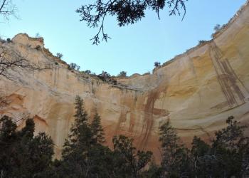
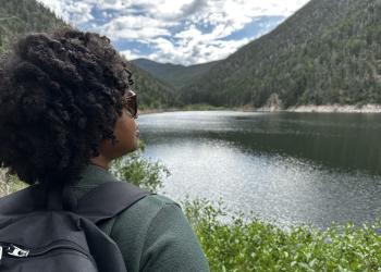
A popular area for camping and the main launch point into the Latir Peaks Wilderness.
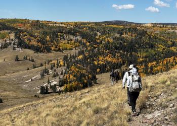
The area south of the New Mexico-Colorado border is over 100,000 acres of rolling grassland surrounded by conifers, ponderosa and aspen stands.
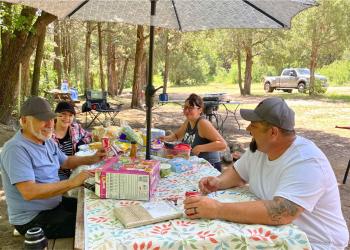
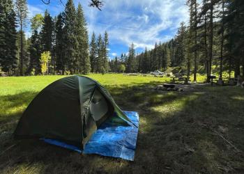
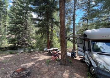
There's plenty of recreation along Highway 38, from Questa to Red River and over Bobcat Pass.
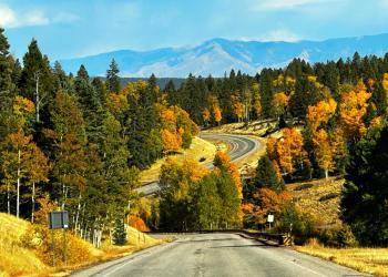
The miles of meandering highway west of Tres Piedras, N.M., offer some of the most pituresque views of the forest, especially during fall color.

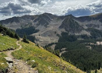
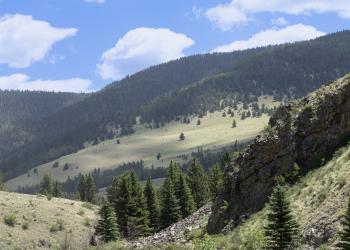
The Valle Vidal, or Valley of Life, is a special place to the people of New Mexico and people from around the world, who come to marvel at the…

The Continental Divide National Scenic Trail on the Carson National Forest runs 102 miles between the Santa Fe and Rio Grande national forests.

The Lost Lake Loop is a popular route, about 13.5 miles long, for hiking, mountain biking, and horseback riding strung together by three trails (listed below) and two roads
Recreation
Lake Fork Trail


Access:From Questa, travel east .2 miles on Highway 38 to Cabresto Road (State Highway 563) Drive 6 miles to Forest Service Road 134A and then go 2 miles up this primitive road to Cabresto Lake.…
Las Petacas Campground
Site Closed


Set along Highway 64 in a beautiful canyon close to Taos with good access to Rio Fernando de Taos for fishing.
Lobo Peak Trail
The Lobo Peak trail is 10.7 miles long. The trail is open for the following uses: Hiking, Horseback Riding.Access:The Lobo Peak Trail follows the Hondo ridge and can be accessed from either the…
Long Canyon Trail

Access:Travel approximately 4 miles north on U.S. Hwy 64 from Taos to the junction of NM State Highway 150, then east on NM State Highway 150 to Taos Ski Valley. Continue through the ski area parking…
Lost Lake Trail

A 6.6-mile trail between the Middle Fork/West Fork Road Trail 487 and Wheeler Peak. Takes visitors by Lost and Horseshoe lakes.
Lower Hondo Campground
Site Open

The lowest elevation campground on Highway 150 en route to Taos Ski Valley.
Manzanita Canyon Trail
The Manzanita trail is 4.0 miles long. The trail is open for the following uses: Hiking
McCrystal Campground
Site Open

A large campground in a ponderosa forest across from the Valle Vidal's historic Ring Place Ranch.
Middle Fork Santa Barbara Trail
In the summer months the trail is used for hiking, and horseback riding. In the Winter he trails are used for cross country skiing and snowshoeing.
Middle Fork/West Fork Road Trail
A former road now used as a trail connecting to the Lost Lake Trail and ending at Middle Fork Lake in the Wheeler Peak Wilderness.