
Tumacacori Mountains

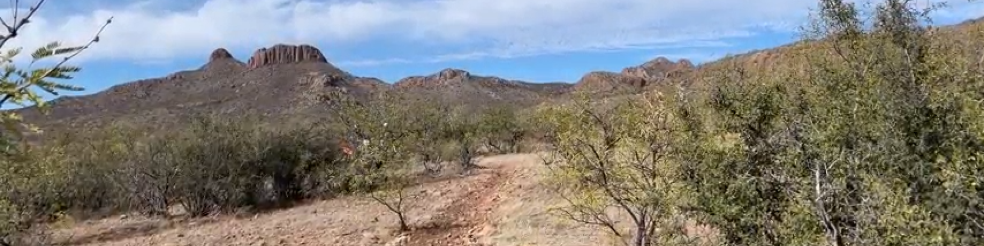
The Tumacacori Highlands comprise three small closely spaced mountain ranges on the United States and Mexico border just west of Nogales. The San Luis Mountains lie just to the west of these three mountain ranges. These ranges are continuous with similar highlands that stretch southward into Mexico. Although unimposing in elevation, the Tumacacori Highlands have sharp ridges, steep slopes, and rocky cliffs that limit the number of roads and give the area a feeling of remoteness. The vegetation is scattered evergreen oak woodlands on north-facing slopes with scrub grasslands on south-facing slopes. Mesquite and acacia shrubs are common, as are agaves and sotols.

The mountain range is within the Nogales Ranger District which lies just west of Interstate 19 and extends southward to the international border.

Recreation Sites

Showing: 1 - 10 of 10 results

Atascosa #100

Hiking
This trail appears on most maps as an insignificant, isolated squiggle leading 2.5 miles to the site of where an old fire lookout was prior to its burning down in the Murphey Complex Fire of 2011.…

Calabasas Group Site

Calabasas Group Campground is a place for groups of up to 250 people to enjoy scenery and privacy in a remote, natural setting. Weddings, family reunions and other social gatherings are especially…

Lower Thumb Rock Picnic Area

Picnicking
A short distance from Peña Blanca Lake, Lower Thumb picnic site is not large, so it is usually quick to fill. That’s especially true during the hot days of summer -- the peak season for the lake…

Pena Blanca Lake

Hiking Hunting, Fishing and Shooting Water Activities Picnicking
  This medium-sized lake fills nearly 50 acres of Peña Blanca Canyon in the foothills of the Atascosa and Pajarito Mountains. It is surrounded by grassy, oak-dotted hills, some of which are topped…

Red Rock Picnic Area

Picnicking
You’ll find oak-shaded picnic tables a short distance from Peña Blanca Lake at Red Rock Picnic Area. This area is across the lake from the most popular facilities: the boat launch ramp, the lodge,…

Red Spring Singletrack

Off Highway Vehicles (OHV) Biking
The Red Spring Singtrack area is located approximately 4 miles west of Exit 40, Chavez Siding, off of Interstate 19. Access is from Forest Service Road 684. A staging area provides parking for…

Sycamore Canyon #40

Hiking
Most of those who come to visit in this area are drawn here by the unique environment of Sycamore Canyon. Home of one of the few perennial streams in extreme southern Arizona, it supports such a…

Upper Thumb Rock Picnic Area

Picnicking
There are actually two Thumb Rock Picnic Areas, upper and lower. Both of them are located within a few steps of Peña Blanca Lake. Upper Thumb Rock is situated on a low hill overlooking this 49-acre…

White Rock Campground

Site Open
 White Rock Campground is a small developed campground, a short distance from Peña Blanca Lake, with 13 tent spaces, picnic tables, fire rings, parking spaces, a vault toilet, and many lovely…

Last updated April 8th, 2025