
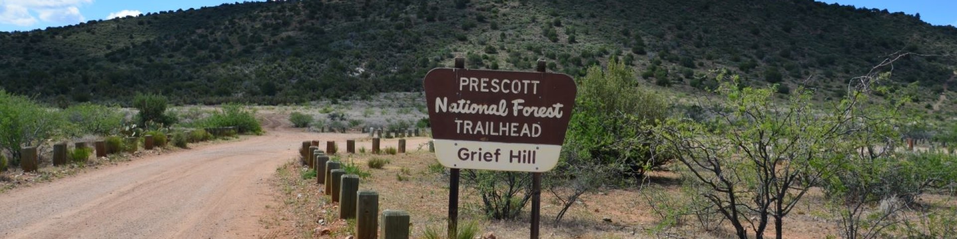
Grief Hill Day Use Area / Trailhead
Trailhead accesses trail that was an old wagon route built in 1864. It’s steep and treacherous with beautiful vistas. Builder and rancher King Woolsey charged soldiers and civilians two cents per mile for its use in the old days.
Facilities
- No drinking water
- Vault toilet
- No garbage service- Please pack it out
General Information
Year-round
No
No
Getting There
Latitude / Longitude
Latitude: 34.59772447
Longitude: -111.9462516
Directions
From Camp Verde, AZ: Northwest on Hwy 260 to Cherry Rd. (County Rd 75 which is 2.7 miles north of I-17). Left on Cherry Rd. for 2.2 miles. Trailhead is on the left. (Note: Cherry Rd. is only paved for part of the way to the trailhead, but is accessible to passenger vehicles during dry weather.)
Facility and Amenity Information
Accessibility
Water
Potable water is not available at this site.