
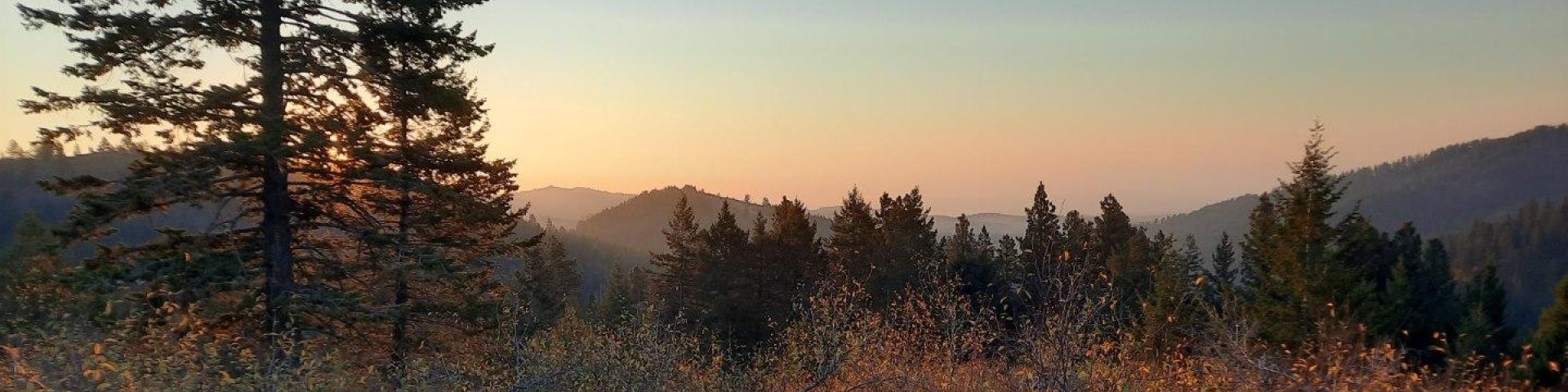
Mann Creek Area, Weiser Ranger District
The Mann Creek corridor leads to many recreational opportunities, and further on to Sturgill Peak and Hitt Mountain. These areas are on the Weiser Ranger District and can be access from Highway 95 via the Mann Creek Road (FS Road 600), Keithly Creek Road (FS Road 037), Highway 71 out of Cambridge, and Pine Creek Road (FS Road 034), Mill Creek Road (FS Road 008), and the Middle Fork of Brownlee Creek Road (FS Road 085) from Highway 71.
This area is generally viewed as being the Mann Creek area in the southern part of the Weiser Ranger District, and the Brownlee Area in the northern part of the Weiser Ranger District. Click this link for recreation information for the Brownlee Area north of Highway 71.
Recreation Sites
Justrite Campground
At the Justrite Campground, four campsites are located next to Mann Creek. This is a great area to explore on a mountain bike; backcountry roads and trails cover miles of the Hitt Mountains, or…
Keithly Creek Trailhead
Trail #269 and trail #278, these trails loop around to Hitt Peak and back.
Kiwanis Campground
This is a one-unit campsite along Mann Creek. It is next to the road so it can be noisy and dusty. There is no potable water available at the site, so come prepared with your own.Typical season of…
Mann Creek Campground
Site Open
Located on Bureau of Reclamation land and operated by the Payette National Forest, Mann Creek Campground offers 13 sites, several of which are accessible for people with disabilities. Picnic tables,…
Paradise Campground
These three dispersed campsites are on the edge of Mann Creek. This is a great area to explore on a mountain bike. Backcountry roads and trails cover miles of the Hitt Mountains.
Spring Creek Campground
Site Closed
This campground is located along the peaceful and relaxing Spring Creek. Tall Ponderosa Pine and fir trees shade you by day, which is important because, although the site is located at 4750 feet…
Spring Creek Group Picnic Site
Day use only reservation site good for parties of 25 - 100. Site has a group fire ring with benches, tables, and a vault toilet. Next to the Spring Creek Campground. Parking available for about 25…
Sturgill Peak Lookout
The Sturgill Peak Lookout offers striking views in any direction. Prior to 1933 Sturgill Peak was used as one of the patrol points by a guard stationed just below the pass between Hitt Peak and…