
Recreation
Interactive Forest Visitor Map
Use the Interactive Forest Visitor Map to locate roads, campgrounds, trails and other recreation sites on the Chattahoochee-Oconee National Forest. You can zoom in for high resolution detail and change the background map to suit your needs. Using the Tools icon, you can print your map or save it as a Geo PDF map. You can also import your Geo PDF to your phone or tablet using a program like Avenza to show your live location on the map - even without a cell signal!
From the rolling hills of the Piedmont to the mountains of the southern Appalachian mountains, there are all kinds of outdoor activities to enjoy.

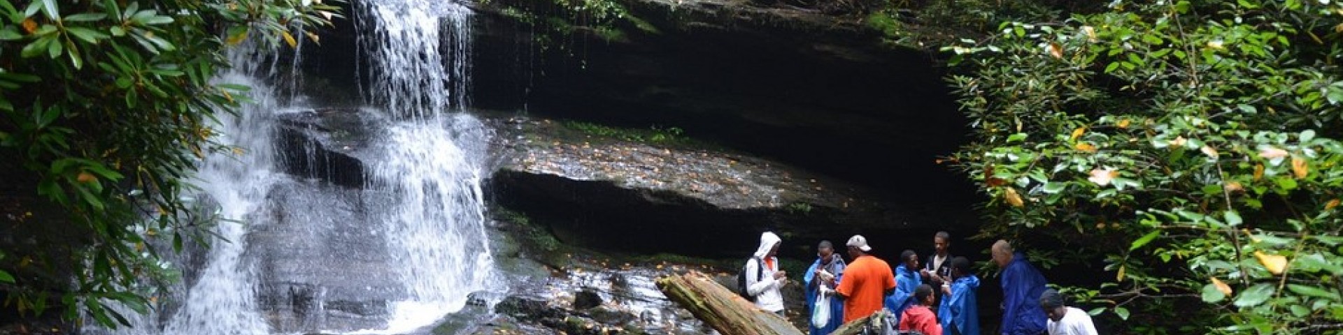
Hemlock Falls Hiking Trailhead
Site Open
A beautiful 1 mile hike to waterfalls
Hickey Gap Campground
Site Open
Seated alongside the sparkling Mill Creek trout stream, and just east of the community of Crandall, GA, is a beautiful gem of a campground named after the Hickey family who once lived there.Photos…
Hitchiti Trail
Site Open
This hiking trail is in the Hitchiti Experimental Forest and follows Falling Creek and the Ocmulgee River. One section, marked 184 on the ground, is a shorter loop that does not go to the river.(33°…
Houston Valley OHV Trails
Site Open
Just west of Dalton lies the largest Forest Service OHV system of trails in Georgia. These very popular motorized trails offer something for everyone, from easy to difficult, in a wooded…
Iron Mountain Trail
Site Open
The Iron Mountain trail begins in the Cottonwood Patch Campground. Iron Mountain is suitable for hikers and equestrians alike and is near the Conasauga River as it meanders its way back from…
Jacks River Fields Campground
Site Open
This quaint, secluded campground is situated on the bank of the south fork of the Jacks River. Surrounded by the yellow poplar, oak, hickory, and white pine forests of north Georgia, these 7…
Jake and Bull Mountain Trail System
Site Open
The Jake and Bull Mountain Trail System provides approximately 36 miles of recreational trails for equestrians, bicyclists and hikers. The Jake Mountain Trail System and Bull Mountain Trail System…
John's Mountain Overlook
Site Open
Observation Site located off the Ridge and Valley Scenic Byway. Johns Mountian 3.5 mile hiking loop. A steep gravel road leads to an overlook deck and small gravel parking area. Observation Site…
Keown Falls Picnic Area and Trailhead
Site Open
A fabulous day-hiking opportunity for young and old awaits visitors at the Keown Falls Recreation Area. With picnicking, dramatic vistas and a hike to the Keown Falls and overlook that even Grandma…
Lake Blue Ridge Recreation Area
Site Open
Lake Blue Ridge Recreation Area is located on the west side of Blue Ridge Lake in Blue Ridge, GA. The lake is a 3,290 acre Tennessee Valley Authority (TVA) reservoir. Blue Ridge Lake offers…