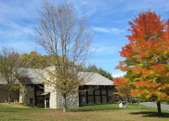
Whitetop Mountain Observation Site
Whitetop Mountain is the second highest mountain in Virginia and offers the highest public road in the state which leads to a summit of 5525 feet. The summit provides panoramic views of three states on clear days and is known for the unique flora and fauna. Of historic interest, the site was the location for the annual Whitetop Folk Festival from 1932 to 1939.
Active Alerts
General Information
Open year round
Open Year Round, Day use only: sunrise to sunset
No camping.
No fees are required for this site
No Fee
Please, keep your pet on a leash when in a recreation area or campground. The law requires dog owners to keep their dog on a leash with a length no greater than 6 feet and under physical control when within a recreational area, such as a campground or day use area (36 CFR 2616(j)).
Address: 3714 Highway 16 Marion, VA 24354
Phone: 276-783-5196
Hours: Monday - Friday; 8:30 AM - 4:00 PM (Closed on federal holidays)
Getting There
Latitude / Longitude
Latitude: 36.63888889
Longitude: -81.60555556
Directions
From 1-81: Take Exit 35 at Chilhowie, Virginia and take State Route 762 (Whitetop Road) past Hardees. Follow SR 762 for about 3.7 miles and go straight through a 4 way intersection (blinking yellow light) onto St. Clairs Creek Road and follow this road for about 4.1 miles to Whitetop Road. Take a left onto Whitetop Road and go about 6 miles. Take a right onto FS 89 to go up to the top of Whitetop Mountain.
Facility and Amenity Information
Water
Potable water is not available at this site.
Picnic Tables
Picnic tables are not available at this site.


