
Laurel Mountain Trail
7.4 mi - Moderate - Most begin from the upper end to take advantage of the downhill grade. This trail descends gradually as it passes through several gaps. In many places dark green mosses and ferns border the trail. At one point the trail crosses underneath a rock overhang. You will notice a difference in vegetation as you move from the rich soils found in the gaps to the dry soils of the ridges. Most of the trail is south facing, staying fairly dry except for the few places where small creeks cross the trail. Because of its location, this trail does not receive much use.
Approximate Elevation Change: 1,800 feet
Blaze: Blue
Specific Trail Information
Trail Number
Trail Type
General Information
Year-round
no
Hiking Trail: Foot traffic (Sections of trail open for mountain bike use).
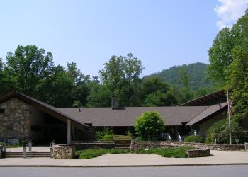
Address: 1600 Pisgah Highway Pisgah Forest , NC 28768
Phone: (828) 877-3265
Hours: Peak Season Hours (April 1-Nov. 15) 9 AM-5 PM daily; Off-season Hours (Nov. 16-March 31) 9 am-5 pm M-F (Closed on federal holidays)
Office Email: sm.fs.pisgahrd@usda.gov
Getting There
Directions
*Bikes must be walked or carried while on National Park Service (Blue Ridge Parkway) land, which ends approximately 0.1 miles down Laurel Mountain Trail.
Leaving the Pisgah District Ranger Station/Visitor Center, turn right (north) onto US 276. Proceed north 14 miles and go north (right) on the Blue Ridge Parkway to MP 407.6, just beyond the Pisgah Inn. Here a large, irregularly shaped parking area serves both the Buck Spring Gap Overlook and the Mount Pisgah trailhead. Take the rock steps from the south end of the overlook parking area; pass the site of the former Buck Springs Lodge and you will come to the Laurel Mountain Trail after 100 yards. The other end of the trail is at Yellow Gap, which is 9 miles east of US 276 on FS 1206 (Yellow Gap Road), which intersects US 276 just north of the Cradle of Forestry.
Additional Information
Operated By
US Forest Service