
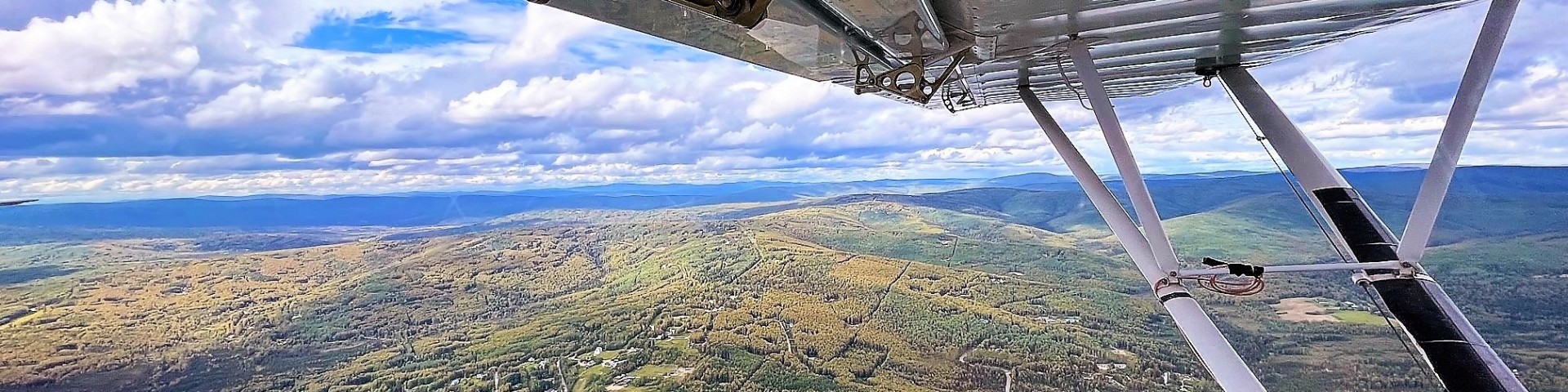
Aerial Detection Survey
Forest Health Protection and the Alaska Division of Forestry & Fire Protection conduct annual aerial detection surveys of forest damage across Alaska from June to August. Learn more below about how to request surveys and obtain survey data. Click the map to interact with the 2023 aerial detection survey data.

Click here to view the 2023 aerial detection survey overview map as a pdf. The 2024 map will be posted here when available.
2024 Survey Snapshot
Interior Alaska
- Moderate to severe aspen leafminer was observed around Fairbanks and throughout the Interior where quaking aspen is common, particularly along the Parks Highway and Nenana Ridge and many areas between Fairbanks and Delta Junction. Scattered aspen defoliation of unknown origin was also mapped in many of the same areas across the Interior as well as in Southcentral.
- Birch leafminers continue to affect populated areas and surrounding forests in the Fairbanks-North Star Borough and near Nenana along the Parks Highway. Moderate to severe damage was mapped around Fairbanks and along Chena Ridge and Chena Hot Springs Road, as well as areas along the Chena River and the Richardson Highway between Fairbanks, North Pole and Eielson Airforce Base.
- Willow leafblotch miner continues to be a common damage agent across the Interior. Moderate to severe levels of defoliation were mapped in many typically affected areas such as along the Yukon River and in the Yukon Flats.
- Throughout the ongoing outbreak, many areas have seen a precipitous drop in spruce beetle activity. However, outbreak level activity continues to occur in the Alaska Range between Healy and Cantwell and in the valleys along the Yanert Fork River. We will continue to monitor these areas in 2025 and beyond.
- Isolated areas of spruce needle rust were observed along the Richardson Highway between Delta Junction and the Paxson Lake area. Spruce needle rust is common in this area.
- Flooding was widely scattered throughout the state, with the most extensive impacts in the Interior, especially along the Yukon River near Ruby and southeast of Circle. In total, several tens of thousand acres were affected, orders of magnitude greater than observed in a typical year.
Southeast Alaska
- Very little active defoliation from western blackheaded budworm was observed in 2024 indicating that the multi-year outbreak has ended. Tree mortality and topkill caused by the recent outbreak continues to be mapped to document the extent and impacts.
- Crown discoloration and mortality from yellow-cedar decline was elevated this year in both unmanaged old-growth forest and several young-growth stands on the central Tongass National Forest. In Prince William Sound, a few suspected dead yellow-cedars were mapped along Cedar and Granite Bays and will be monitored and ground-verified.
- Elevated foliage discoloration from Dothistroma needle blight was mapped along northern Lynn Canal.
- Scattered lodgepole pine mortality caused by porcupine girdling was mapped near Haines.
Southcentral Alaska
- Throughout the ongoing outbreak area, a precipitous drop in spruce beetle activity was observed. Outbreak level activity continues in the Alaska Range in the valleys of the Nenana and Yanert Fork Rivers, as well as in the Upper Susitna River valley. Scattered spruce beetle activity continues between Skilak and Tustumena Lakes and minimally elsewhere on the Kenai Peninsula.
- The defoliator outbreak that has affected alder and other hardwoods on the south side of Kachemak Bay over the last couple of years appears to have collapsed. No hardwood defoliation was observed in this area.
- Numerous instances of scattered flooding-caused tree mortality were observed along rivers and lakes in Southcentral.
Southwest Alaska
- Birch discoloration/defoliation was mapped along Kuskokwim River using a remote sensing method (“Scan and Sketch”) that involves manually mapping forest damage from satellite imagery. The cause remains to be determined.
Resources
We encourage interested parties to request areas of interest for survey. These requests and other information are used to determine survey routes. Aerial survey requests should include specific location information (waypoints of distinct landmarks) and any observations about the type, extent and severity of the damage, the host/s affected, and when the damage was first noted. For aerial survey requests or Alaska aerial detection survey data, Garret Dubois at garret.d.dubois@usda.gov. Alaska Region Forest Health Protection can also produce customized pest maps and analyses tailored to projects conducted by partners.
2024
Damage AGOL feature layer Flightlines AGOL feature layer
Damage feature server Flightlines feature server
2023
Damage AGOL feature layer Flightlines AGOL feature layer
Damage feature server Flightlines feature server
2022
Damage and Flightlines AGOL feature layer Feature server
2021
Damage and Flightlines AGOL feature layer Feature server
2020*
2020 Damage Polygons 2020 Survey Area 2020 Imagery Footprint
2019
2019 Damage Polygons 2019 Flightlines
2018
2018 Damage Polygons 2018 Flightlines
2017
2017 Damage Polygons 2017 Flightlines
2016
2016 Damage Polygons 2016 Flightlines
2015
2015 Damage Polygons 2015 Flightlines
*Aerial surveys were cancelled in 2020 due to COVID-19. Damage was mapped through a combination of ground-based surveys and a remote sensing approach using high-resolution satellite imagery. The imagery footprint is the area for which imagery was obtained and surveyed.
Forest insect and disease data can also be downloaded from the Forest Health Assessment and Applied Sciences Team (FHAAST) website:
FHAAST- Homepage
FHAAST- Mapping, Reporting & Aerial Survey Data Download
Prior to each annual aerial survey, we plan tentative survey dates and routes. These plans sometimes change to accommodate survey requests and damage observed during the survey, and also due to weather conditions and other constraints. Contact our team to request locations for survey or to report recent forest damage. Garret Dubois is the Aerial Survey Program Manager for Alaska (garret.d.dubois@usda.gov).
Aerial surveys are an effective and economical means of monitoring and mapping insect, disease and other forest disturbance at a coarse scale. In Alaska, Forest Health Protection (FHP) and the Alaska Division of Forestry & Fire Protection, monitor approximately 15% of Alaska’s 126 million acres of forest annually at a cost of less than a penny per acre. Much of the damage acreage referenced in annual Forest Health Conditions of Alaska reports is generated from aerial detection surveys, so it is important to understand how these data are collected and the data’s inherent strengths and weaknesses.
No two observers will interpret and record an outbreak or damage signature in exactly the same way, but the essence of the event should be captured. While some observations are ground checked, most are not. Many times, the single opportunity to verify the data on the ground by examining affected trees and shrubs is during the survey mission, and this can only be done when the terrain will allow the plane to land and take off safely. The data provides estimates of the location and intensity of damage, but only for damage agents with signatures that can be detected from the air during the survey period. Many root diseases, dwarf mistletoe, stem decays and other destructive pathogens are not represented in aerial survey data because these agents are not detectable from an aerial view or signs and symptoms do not coincide with the timing of the survey.
Surveys provide a non-systematic sampling of forest damage via flight transects. Due to survey priorities, client requests, known outbreaks, and several logistical considerations, some areas are rarely or never surveyed, while other areas are surveyed annually. The reported data is an indicator of insect and disease activity for a given year and maps with survey flightlines show where the data was collected. Although general trends in non-surveyed areas could be similar to those in surveyed areas, this is not always the case. Establishing trends from aerial survey data is possible, but care must be taken to ensure that multi-year projections compare the same areas, and that sources of variability are considered.
Aerial detection surveys employ a method known as aerial sketch-mapping to observe and document forest damage from an aircraft. When an observer identifies an area of forest damage, a polygon or point is drawn on a computer touch screen. The touch screen displays the plane's location over a topographic map with a variety of features and layers that can improve mapping accuracy. Trained observers have learned to recognize and associate damage patterns, discoloration, tree species, and other clues to distinguish specific types of forest damage from surrounding undamaged forest. Damage attributable to a known agent is a “damage signature” and is often pest-specific. Only actively occurring, recent damage is mapped; old damage or mortality is not mapped during the aerial detection survey unless there are specific extenuating circumstances.
Knowledge of these damage signatures allows trained surveyors to not only identify damage caused by known pests, but also to be alerted to new or unusual signatures, such as those that may be caused by uncommon or invasive species. Detection of novel damage signatures caused by newly invasive species is an important component of early detection rapid response monitoring.
Aerial sketch-mapping offers the added benefit of allowing the observer to adjust their perspective to study a damage signature from multiple angles and altitudes, but is challenged by time limitations, fuel availability and other factors. Survey aircraft typically fly at about 100 knots (115 mph) and 1,000-1,500 feet above ground level with variable atmospheric conditions. Low clouds, high winds, precipitation, smoke, and poor light conditions can inhibit the detection of damage signatures. Terrain, distance, and weather conditions prevent some areas from being surveyed altogether.
Prior to 1999, sketch-mapping was done on 1:250,000 (1 inch = 4 miles) USGS quadrangle maps. Today, forest damage information is sketched on 1:63,000 scale (1 inch = 1 mile) digital USGS quadrangle maps or imagery on a digital sketch-mapping system. This system displays the plane’s location via GPS and has many advantages over paper maps including greater accuracy and resolution in polygon placement and shorter turnaround time for processing and reporting data. The sketch-map information is then entered into a computerized Geographic Information System (GIS) for more permanent storage and retrieval by users. Over 40 years of aerial survey data has been collected in Alaska, giving a unique perspective of Alaska’s dynamic and changing forests.
Citing Maps and Survey Data: Please cite “USDA Forest Service, Forest Health Protection and its partners” as the source of this data in maps and publications.
Aerial Detection Survey Data Disclaimer: Forest Health Protection and its partners strive to maintain an accurate Aerial Detection Survey (ADS) dataset, but due to the conditions under which the data are collected, FHP and its partners shall not be held responsible for missing or inaccurate data. ADS data are not intended to replace more specific information. An accuracy assessment has not been done for this dataset; however, ground checks are completed in accordance with local and national guidelines. Maps and data may be updated without notice.
The USDA Forest Service makes no warranty, expressed or implied, including the warranties of merchantability and fitness for a particular purpose, and assumes no legal liability or responsibility for the accuracy, reliability, completeness, or utility of these geospatial data, or for the improper or incorrect use of these geospatial data. These geospatial data and related maps or graphics are not legal documents and are not intended to be used as such. The data and maps may not be used to determine title, ownership, legal descriptions or boundaries, legal jurisdiction, or restrictions that may be in place on either public or private land. Natural hazards may or may not be depicted on the data and maps, and land users should exercise due caution. The data are dynamic and may change over time. The user is responsible to verify the limitations of the geospatial data and to use the data accordingly.
Content prepared by Robin Mulvey and Dr. Karen Hutten, Forest Health Protection, Juneau, AK.