| Collection: | RMRS Archive Images |
| Keywords: |
scenic rivers dph, miscl. |
| Location: | Dutton Point, Grand Canyon N.P.; AZ; USA |
| Description: | View from Dutton Point |
| Date: | 2003 |
| Collection: | Fort Valley Experimental Forest historical photographs |
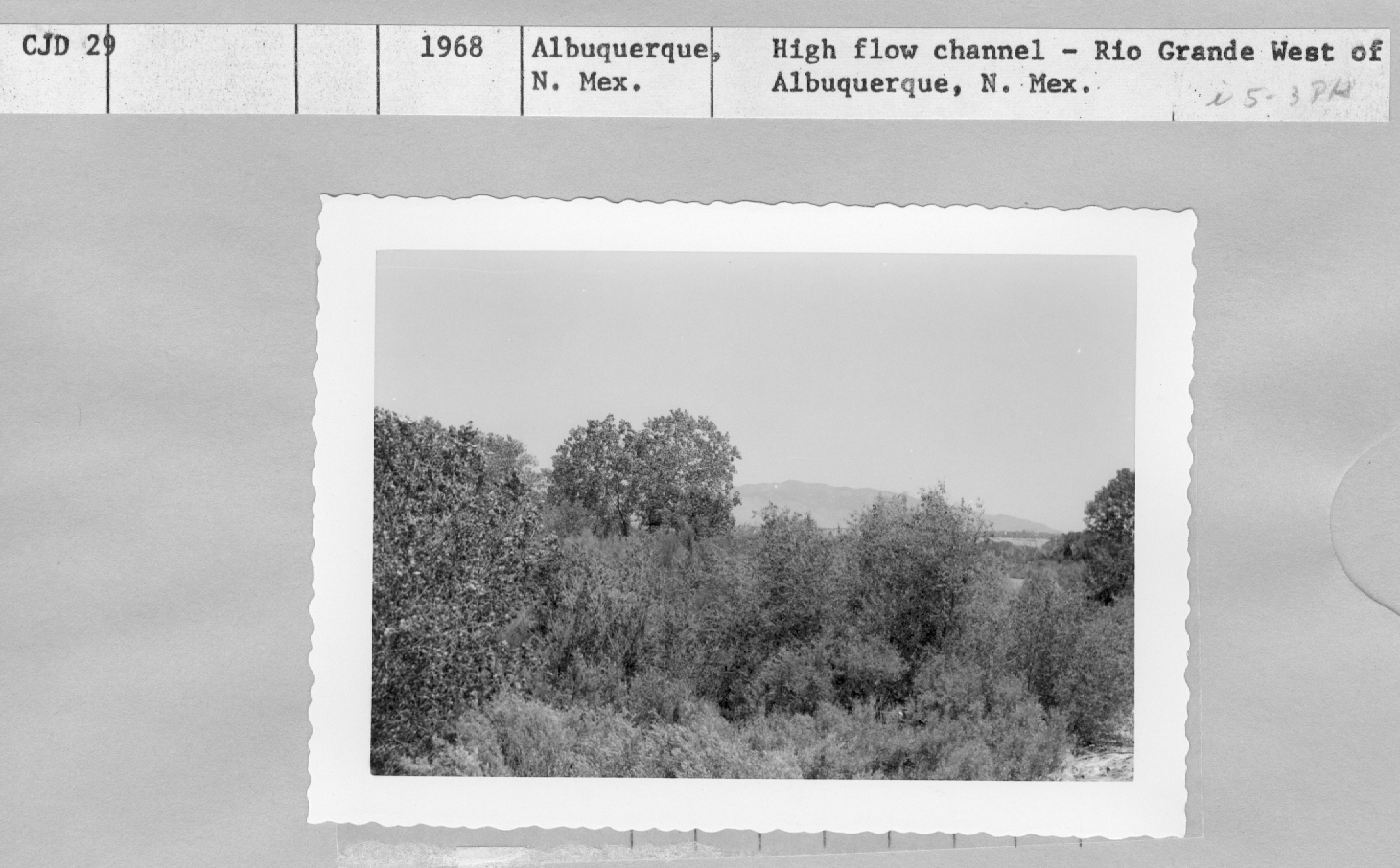
| Keywords: |
vegetation types rivers |
| Location: | Albuquerque; NM; USA |
| Description: | High Flow channel-Rio Grande West of Albuquerque |
| Date: | 1968 |
| Collection: | Fort Valley Experimental Forest historical photographs |
| Keywords: | rivers |
| Location: | Albuquerque; NM; USA |
| Description: | High Flow channel West of Albuquerque |
| Date: | 1968 |
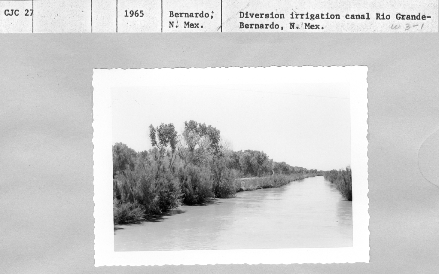
| Collection: | Fort Valley Experimental Forest historical photographs |
| Keywords: | rivers |
| Location: | Bernardo; NM; USA |
| Description: | Diversion irrigation canal, Rio Grande |
| Date: | 1965 |
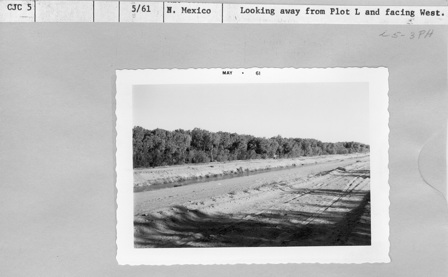
| Collection: | Fort Valley Experimental Forest historical photographs |
| Keywords: |
rivers range study |
| Location: | Rio Grande; NM; USA |
| Description: | range study plot |
| Date: | 05/1961 |
| Collection: | Fort Valley Experimental Forest historical photographs |
| Keywords: |
rivers range study |
| Location: | Rio Grande; NM; USA |
| Description: | range study plot |
| Date: | 05/1961 |
| Collection: | Fort Valley Experimental Forest historical photographs |
| Keywords: |
rivers range study |
| Location: | Rio Grande; NM; USA |
| Description: | range study |
| Date: | 05/1961 |
| Collection: | Fort Valley Experimental Forest historical photographs |
| Keywords: |
rivers range study |
| Location: | NM; USA |
| Description: | range study |
| Date: | 05/1961 |
| Collection: | Fort Valley Experimental Forest historical photographs |
| Keywords: | rivers |
| Organisms: | mesquite |
| Location: | Coolidge Dam; AZ; USA |
| Description: | About 12 miles east of Coolidge Dam looking northwest, downstream. |
| Date: | 06/1953 |
| Collection: | Fort Valley Experimental Forest historical photographs |
| Keywords: | rivers |
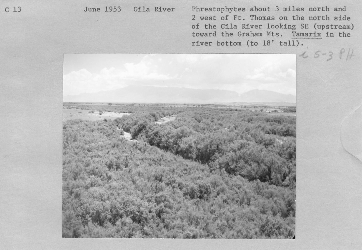
| Location: | Gila River; USA |
| Description: | Gila River, Tamarix |
| Date: | 06/1953 |
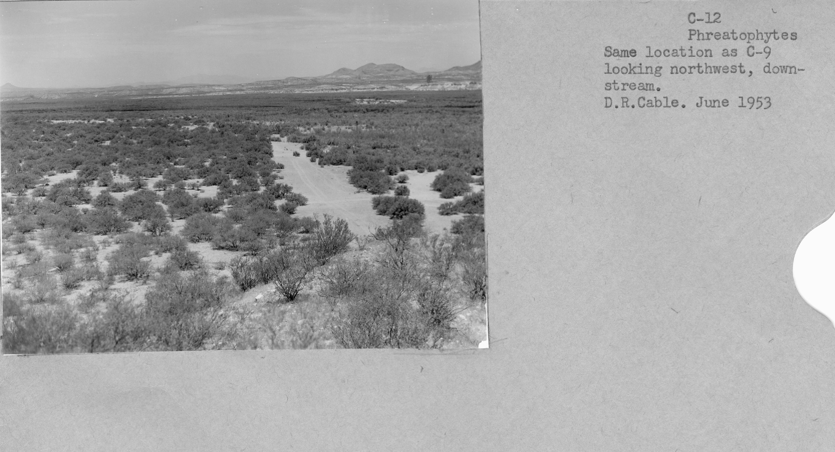
| Collection: | Fort Valley Experimental Forest historical photographs |
| Keywords: | rivers |
| Location: | Gila River; AZ; USA |
| Description: | phreatophytes |
| Date: | 06/1953 |
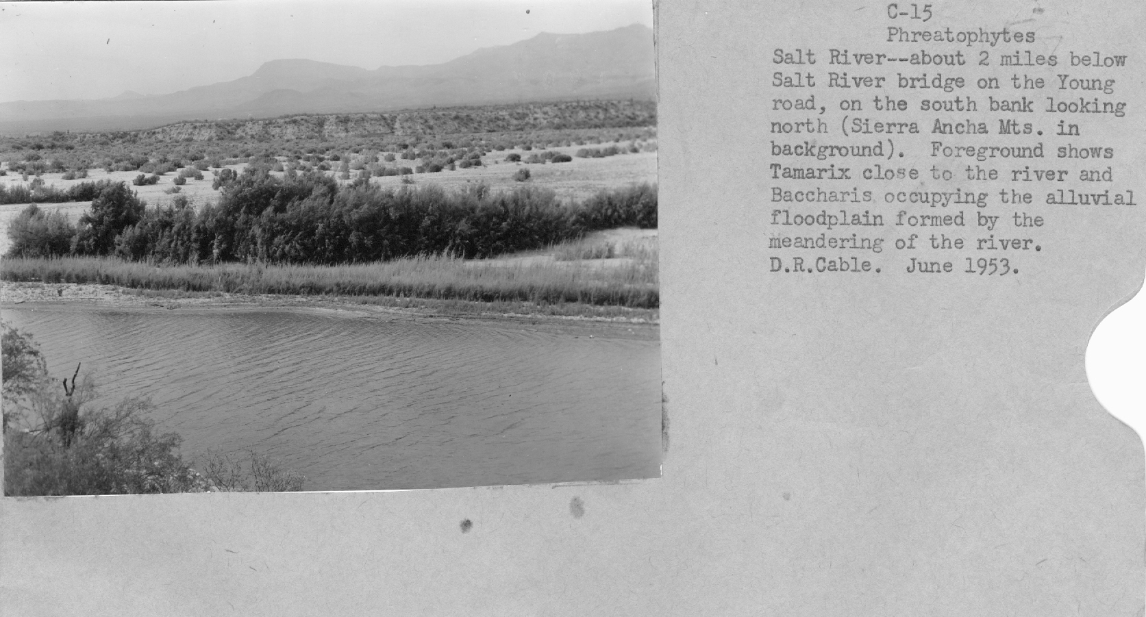
| Collection: | Fort Valley Experimental Forest historical photographs |
| Keywords: |
desert shrub rivers |
| Location: | Salt River; AZ; USA |
| Description: | floodplain on Salt River |
| Date: | 06/1953 |
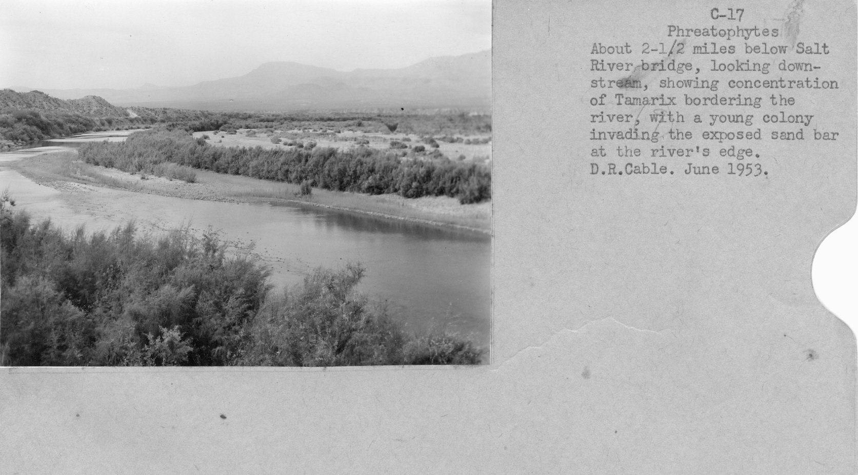
| Collection: | Fort Valley Experimental Forest historical photographs |
| Keywords: |
desert shrub rivers |
| Location: | Salt River; AZ; USA |
| Description: | Tamarix in floodplain |
| Date: | 06/1953 |
| Collection: | Fort Valley Experimental Forest historical photographs |
| Keywords: | rivers |
| Location: | Salt River; AZ; USA |
| Description: | phreatophytes |
| Date: | 6/1953 |
| Collection: | Fort Valley Experimental Forest historical photographs |
| Keywords: | rivers |
| Location: | Salt River; AZ; USA |
| Description: | Phreatophytes and Tamarix |
| Date: | 06/1953 |
| Collection: | Fort Valley Experimental Forest historical photographs |
| Keywords: | rivers |
| Location: | Salt River; AZ; USA |
| Description: | Phreatophytes |
| Date: | 06/1953 |
| Collection: | Fort Valley Experimental Forest historical photographs |
| Keywords: | rivers |
| Location: | Salt River; AZ; USA |
| Description: | Phreatophytes |
| Date: | 06/1953 |
| Collection: | Fort Valley Experimental Forest historical photographs |
| Keywords: |
desert shrub landscape rivers |
| Location: | Salt River; AZ; USA |
| Description: | Phreatophytes |
| Date: | 06/1953 |
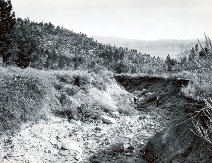
| Collection: | RMRS Archive Images |
| Keywords: |
erosion rivers |
| Location: | Carson City; Nevada; United States |
| Description: | Vicee Creek near head, loking downstream. |
| Date: | 11/26/1950 |
| Collection: | RMRS Archive Images |
| Keywords: |
erosion rivers vehicles |
| Location: | Reno; Nevada; United States |
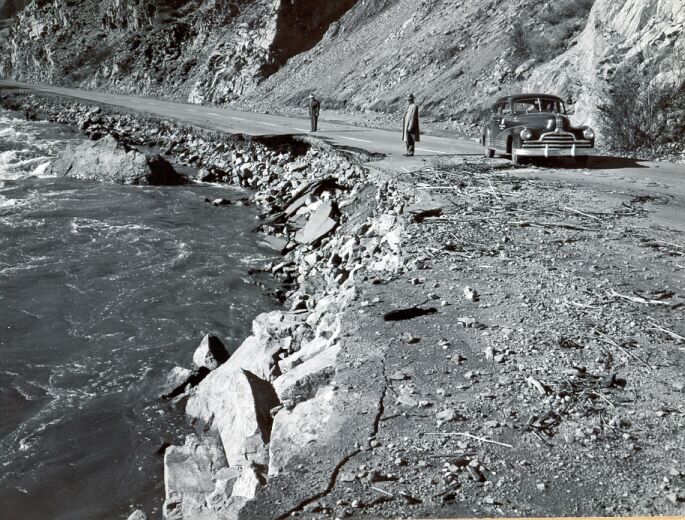
| Description: | Damage to road shoulder in Trickee Canyon above Reno by flood of Nov. 21, 1950. |
| Date: | 11/23/1950 |


