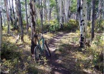
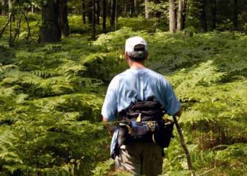
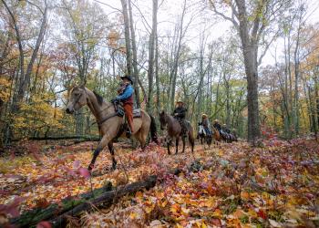
Hiking
Choose from the following to find a site:

Trail Maps
Trail maps are located in the Maps and Publications section of the website.
Camping
Several trails have campgrounds located on or near the trail.
Drinking Water
Not all trailheads have drinking water.
Recreation Enhancement Act Fees

Look for the "U.S. Fee Area" sign when you enter the site (pictured).
Passes can be paid for at the site by using a fee envelope, located near the bulletin board or can be purchased from a Forest Service Office or vendor. For more information on which passes are available and which pass will best suit your needs during your visit, visit the Passes and Permits section of the website.
Trail | Length |
---|---|
Bowman Lake | 10 |
Corsair | 28.3 |
Crystal Valley | 12 |
Eagle Run | 6.8 |
Forest Discovery Trail | 0.6 |
Highbanks | 7 |
Hoist Lake | 19.6 |
Island Lake Nature Trail | 1.25 |
Loda Lake | 1.2 |
Loud Trail | 7.6 |
Manistee River Trail | 10.5 |
McKenzie | 10.1 |
Midland to Mackinaw Trail | 14 |
Nordhouse Dunes | 14 |
North Country Trail | 128 |
Reid Lake | 13 |
Ruffed Grouse Walk | 0.6 |
Shore to Shore Trail | 85 |
Wakeley Lake | 8.6 |
Wolf Creek Trail | 4.5 |