

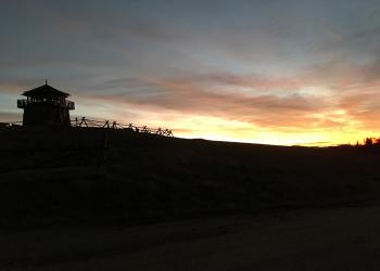
Welcome to the Black Hills National Forest
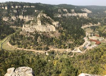
The Black Hills, in western SD and northeastern WY, consists of 1.2 million acres of forested hills and mountains, approximately 110 miles long and 70 miles wide.
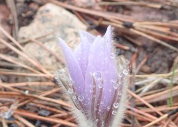
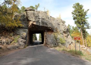
The name "Black Hills" comes from the Lakota words Paha Sapa, which mean "hills that are black." Seen from a distance, these pine-covered hills, rising several thousand feet above the surrounding prairie, appear black.
We've got a new look!
In April 2025, we transitioned to a new web platform to better serve the public. With thousands of pages to update, some content may take additional time to appear. Some older content has been archived during this move as well.
We appreciate your patience as we work to make it easier than ever to access information and explore your national forests - both online and on the ground.
If you cannot find what you are looking for, please contact your local Forest Service office or submit your question using the form on our Contact Us page.


Visitor Maps and Guides
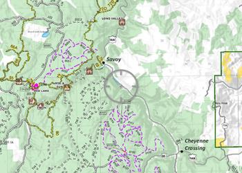
The Forest Service publishes a variety of map products to help you enjoy your visit. Many maps and brochures are available online and more options are available at our Forest offices.
Fire Information
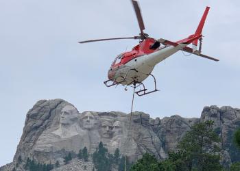
Learn more about the Black Hills National Forest Fire program including current fire information, fire restrictions and fire danger across the Black Hills National Forest. (Photo by Corbin Herman)
OHV Information
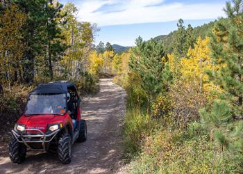
The Black Hills offers over 3,800 miles of roads and trails for motorized vehicles. Over 700 miles of system trails are designated for Off-Highway Vehicles (OHVs) and available for riding with a valid Motorized Trail Permit.
Forest Recreation Passes
The Black Hills National Forest is open, free of charge, for your use and enjoyment. Fees may be charged and passes required for some activities and locations, including camping and parking fees.
Forest Permits
Permits are required to remove certain forest products such as firewood, rocks and minerals, tree transplants and other materials. Permits are also required for certain activities on the forest.
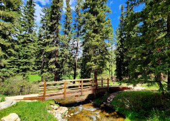
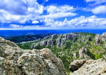
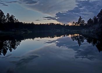
Epic Adventures
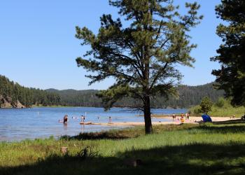
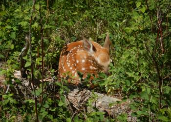
Within the Black Hills National Forest and surrounding area is a wide variety of beautiful sites to see and adventures to undertake!