Welcome to Lolo National Forest
Welcome! We've transitioned our public websites to a modern web platform to better serve the public. With thousands of pages to update, some content may take longer to appear. Some old content has been archived during this process, as well.
We appreciate your patience as we work to make it easier than ever to access information and explore your national forests - both online and on the ground. Please send us an email if there is something you can't find:
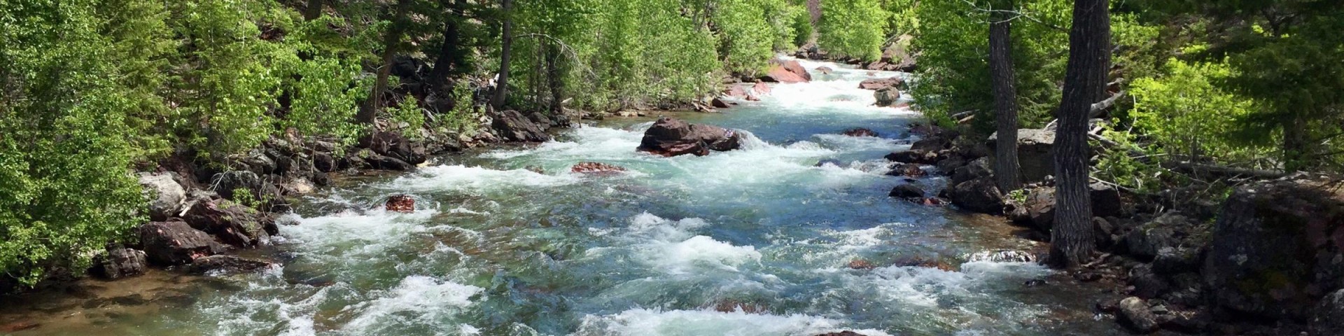
In the Rocky Mountains of western Montana lies the 2.3-million-acre Lolo National Forest. With abundant lakes, rugged Wilderness areas, wild rivers, trails, campgrounds, ski areas, and year-round beauty, the Forest is in the heart of one of America’s most recognized and visited western landscapes.
What's Happening
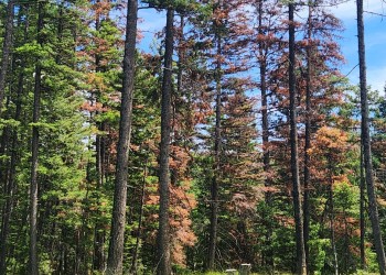
WAM is a wildfire risk-based strategic fuels management project designed to address objectives outlined in the Missoula County Community Wildfire Protection Plan developed through stakeholder and public engagement. WAM includes projects on the Lolo National Forest totaling 177,229 acres.
Check out the projects that we are currently analyzing or have been analyzed under the National Environmental Policy Act. Once a project has been analyzed and a decision notice has been signed by the Forest Supervisor implementation can begin.
Quick Links to Information
Land Management Plan Revision

The Lolo National Forest is in the process of Land Management Plan Revision. A Land Management Plan, commonly known as a Forest Plan, is the comprehensive overarching document that guides the management of a National Forest for approximately 15 years.
Bear Country Safety

The Lolo National Forest is home to both black and grizzly bears. Learn more about recreating safely in bear country and how to properly store food and other attractants.
Camping and Cabins

Rent a cabin or a lookout and start to unwind. We have a variety of rental cabins from lookouts on mountain tops to historic log cabins located in beautiful canyons where blue ribbon streams flow.
Fire Information

The Forest has a diverse fire program including responding to wildfires, fuels management, prescribed burning, prevention, suppression and using technology.
Permits

Many uses and opportunities on national forests are free of charge. However, some areas or activities require permits to help maintain, manage and improve the forest amenities or services that you enjoy.
Be safe when outdoors

Your safety and the safety of others around you is your primary responsibility. What you wear, where you go, the equipment you carry and how you conduct yourself is vitally important.