
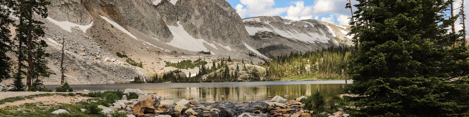
Welcome to the Medicine Bow-Routt National Forests & Thunder Basin National Grassland
Caring for the land and serving people - The MBRTB includes almost 2.9 million acres of National Forest System lands managed for multiple uses and public enjoyment. These units provide a diverse mix of timber, livestock forage, vast mineral resources, wildlife habitat, and a vital source of water for irrigation and domestic use.
Current ConditionsForest OrdersCamping/CabinsTimber Sales
We've got a new look!
In April 2025, we transitioned to a new web platform to better serve the public. With thousands of pages to update, some content may take additional time to appear. Some older content has been archived during this move as well.
We appreciate your patience as we work to make it easier than ever to access information and explore your national forests - both online and on the ground.
If you cannot find what you are looking for, please contact your local Forest Service office or submit your question using the form on our Contact Us page.
Maps & Publications
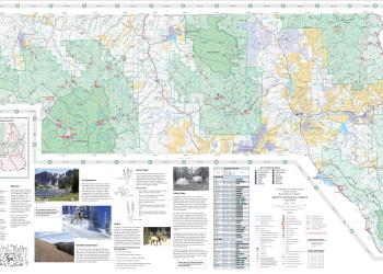
We offer a variety of map products including paper and digital visitor maps, Motor Vehicle Use Maps, and digital downloads of topographic maps and GIS information.
Vicinity Map
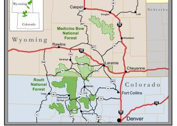
The MBRTB spans two states and over a dozen counties. Use this map to help visualize forest boundaries and administrative units.
Firewood Permits
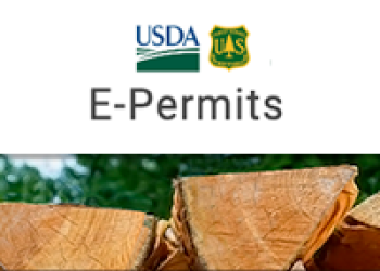
Firewood collection permits can be purchased online or in person at select ranger district offices. After purchasing a permit, you may cut and remove firewood from the Medicine Bow-Routt National Forests for personal-use home heating.
Permit Information

Permits are needed for a variety of activities, such as hosting events on Forest, cutting Christmas trees, collecting mushrooms, and commercial filming.