Welcome to Pike-San Isabel National Forests & Cimarron and Comanche National Grasslands
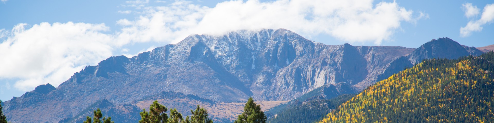
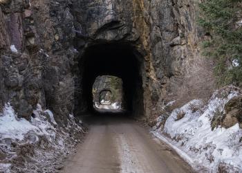
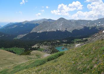
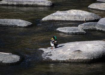
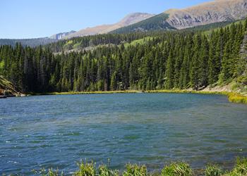
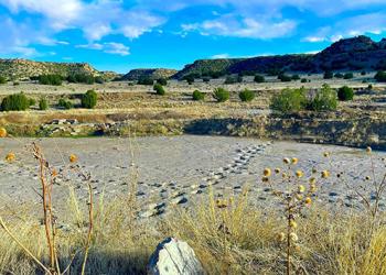
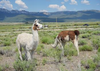
The Pike-San Isabel National Forests & Cimarron and Comanche National Grasslands covers nearly 3 million acres from western Kansas to Colorado's highest mountain peaks along the Continental Divide. This landscape offers a variety of ecosystems rich in history, geology, scenery, wildlife habitat and recreation opportunities.
We've got a new look!
In April 2025, we transitioned to a new web platform to better serve the public. With thousands of pages to update, some content may take additional time to appear. Some older content has been archived during this move as well.
We appreciate your patience as we make it easier than ever to access information and explore your national forests - both online and on the ground.
If you cannot find what you are looking for, please contact your local Forest Service office or submit your question using the form on our Contact Us page.

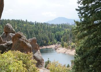
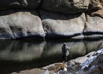
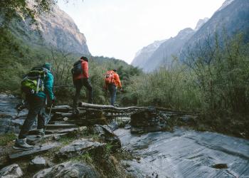
Recreation Opportunities
Know what you want to do but unsure where to go? Check out our recreation opportunities!
Follow the Safety and Outdoor Ethics guidance to prepare for a fun and safe experience on your public lands.