Water

Water

Rivers, lakes, creeks, and reservoirs are found across the Rio Grande National Forest. The Forest is named for the Rio Grande River which has its headwaters on the Forest.


Watersheds

A watershed is an area of land that drains into a specific body of water like a creek or river. The Rio Grande Watershed is about 335,000 square miles, which is about equal to 11% of the continental US. The headwaters of the Rio Grande River are on the Forest. The headwaters the source and furthest point from where the river flows into the ocean. Precipitation, rain and snow, that falls on the forest flows into creeks and rivers that feed the Rio Grande River, or it soaks into the soil and becomes ground water. And of course, some of that precipitation evaporates.

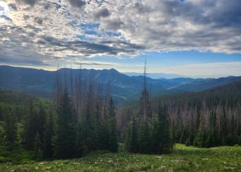
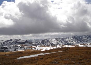
Hiker walking along a ridge in the Rio Grande National Forest

Continental Divide

The Continental Divide runs the length of North, Central, and South America. It divides the continent’s watersheds that flow into the Atlantic and the Pacific Ocean. It runs the length of the Rocky Mountains in the US. The Continental Divide National Scenic Trail (CDT) follows the Divide from the Mexico-US border to the Canada-US border.

On the Rio Grande National Forest the Continental Divide makes up the boundary between the Rio Grande National Forest and the San Juan and Gunnison National Forests. The Divide Ranger District is named after the Continental Divide as the Divide makes up the majority of the district boundary. The Continental Divide also borders parts of both the Saguache and Conejos Peak Districts.

Highway 17 at Cumbres Pass, Highway 160 at Wolf Creek Pass, and Highway 149 at Spring Creek Pass all pass over the Continental Divide on the Rio Grande National Forest.

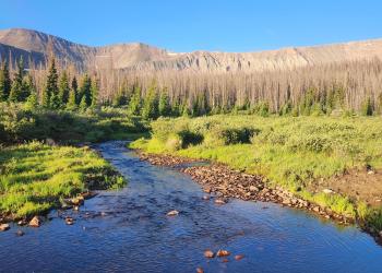
Rio Grande River flows away through the valley with mountains rising on either side

Rio Grande River

The Rio Grande River originates on the Rio Grande National Forest and flows 1,896 miles to the Gulf of Mexico. It forms at the base of Canby Mountain where several different streams join. The river flows through the Rio Grande National Forest and the San Luis Valley where it provides irrigation for crops throughout the valley. On the Forest major tributaries to the Rio Grande River include the South Fork of the Rio Grande, Alamosa River, and Conejos Peak River.

Reservoirs

The Rio Grande National Forest has many reservoirs across the Forest. Most of the water is managed by Colorado Parks and Wildlife while the surrounding land is often managed by the forest. Many of the reservoirs are stocked for recreational fishing opportunities. The reservoirs also provide the ability to capture, store, and control water. In times of high runoff and high river flow rivers are filled and that water is stored and released more slowly throughout the summer as it is needed for irrigation and there is less natural runoff in the rivers. Reservoirs can also be used for flood control.

Reservoirs may be privately owned, or by the state. Management of the water and release of the water is often managed cooperatively between multiple agencies, organizations, and stakeholders.

Major Reservoirs on the Rio Grande National Forest include:

  • Rio Grande Reservoir
  • Road Canyon Reservoir
  • Continental Reservoir
  • Beaver Creek Reservoir
  • Big Meadows Reservoir
  • Platoro Reservoir

Lakes

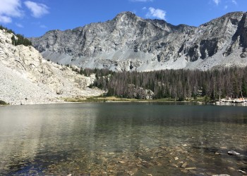
Many bodies of water on the Rio Grande National Forest that appear to be lakes have been modified to store more water and enlarged to become reservoirs. Examples include, Goose Lake, Archuleta Lake, Spruce Lakes, Poague Lake, and Hunter’s Lake. Some lakes are completely natural and many of these are found high in the alpine, including in the Sangre de Cristo Range. Many of the lakes in the Ute Creek drainage, including Lost Lake, are completely natural as well. 

posts and woven willows act as a dam in a flowing creek
Creek on the Forest with trout habitat improvement

Creeks and Rivers

Many creeks and rivers flow across the Rio Grande National Forest. They are fed by snowmelt and springs. All creeks and rivers that originate on the forest flow into the Rio Grande River unless they flow into the San Luis Closed basin where the water either evaporates or flows underground as ground water. Many of these small creeks provide great fishing opportunities.


More Resources

Flow Rates of Rivers 

Colorado Parks and Wildlife

More information on local reservoirs