

Welcome to Angeles National Forest
Visit Us
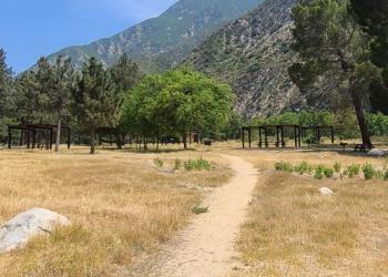
The Angeles National Forest in Southern California is an urban national forest in the center of an ever-changing population and provides a place for surrounding communities to experience solitude, quiet, and enjoy unique recreation opportunities.
Fire Management
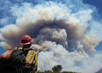
For Special Use Permittees Only: Project Activity Levels (PALs) is a decision support tool designed to establish the level of industrial precaution in the forest for the following day in order to reduce the risk of wildfires. If your special use permit requires you to obtain PALs info, call (661) 723-2752.
High-Elevation Hiking

While the serene, snow-covered peaks beckon us, it's important to exercise caution when venturing into higher elevations. The conditions can be unpredictable and treacherous, demanding respect and careful preparation. Rapid weather changes, avalanches, and limited visibility are just a few of the hazards that can escalate quickly.
