
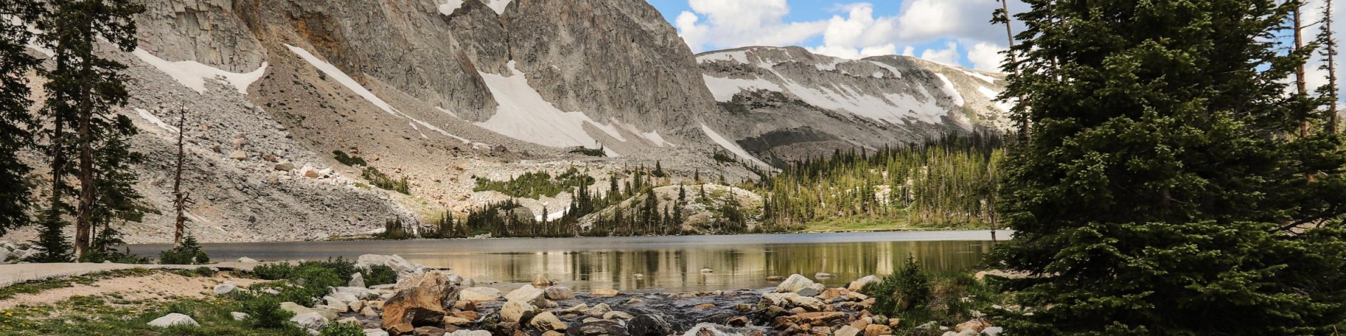
Welcome to the Medicine Bow-Routt National Forests & Thunder Basin National Grassland
Caring for the land and serving people - The Medicine Bow-Routt National Forests & Thunder Basin National Grassland (MBRTB) covers almost 2.9 million acres in northern Colorado and eastern Wyoming. It includes mountains and wide-open spaces. These forests and grasslands offer many activities for visitors all year. The area provides timber for wood, grass for livestock, minerals, homes for wildlife, and an important water supply for farms and communities.
Current Conditions Forest Orders Camping/Cabins Timber Sales
Maps & Publications
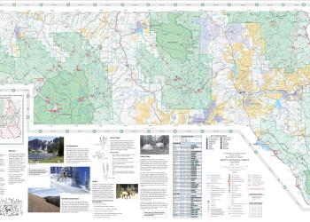
We offer a variety of map products including paper and digital visitor maps, Motor Vehicle Use Maps, and digital downloads of topographic maps and GIS information.
Vicinity Map
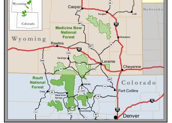
The MBRTB spans two states and over a dozen counties. Use this map to help visualize forest boundaries and administrative units.
Firewood Permits
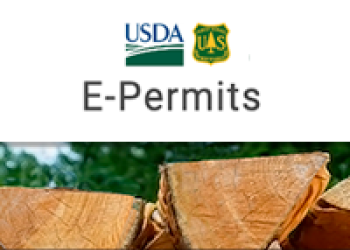
Firewood collection permits can be purchased online or in person at select ranger district offices. After purchasing a permit, you may cut and remove firewood from the Medicine Bow-Routt National Forests for personal-use home heating.
Permit Information
Permits are needed for a variety of activities, such as hosting events on Forest, cutting Christmas trees, collecting mushrooms, and commercial filming.