
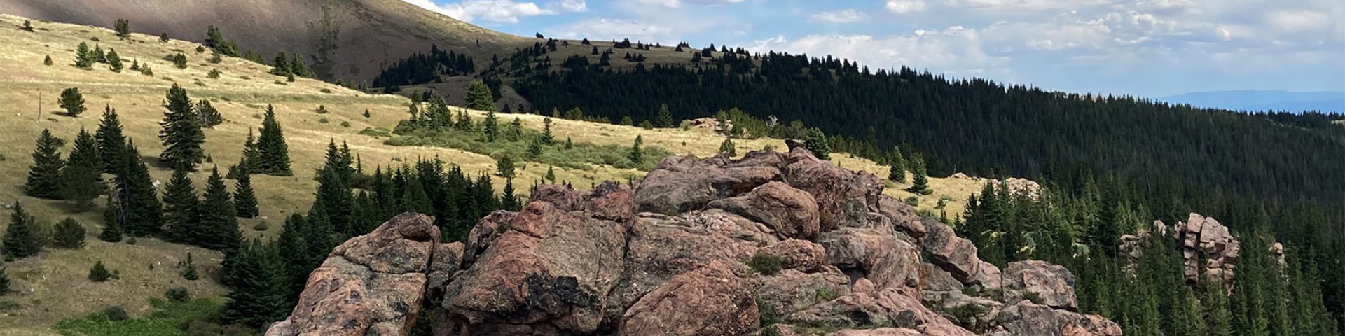
Visitor Maps and Guides
Are you ready to explore the Pike-San Isabel National Forests & Cimarron and Comanche National Grasslands? You can find digital and physical maps and publications through the links below or at a Forest Service office.
Unsure where to start? Browse our recreation opportunities.
Mobile-Friendly Maps

Download forest maps to your mobile device via the Avenza app.
Motor Vehicle Use Maps (MVUMs)

MVUMs show National Forest System roads and trails open to motorized travel.
Interactive Forest Visitor Map

The Interactive Forest Visitor Map is an online or mobile app that provides the public with information on Forest Service roads, trails, recreation sites, wilderness areas and wild and scenic rivers.
Disclaimer: All website links on this map redirect to the recreation landing page.
U.S. Geological Survey Maps

Search for forest, grassland, district, wilderness and specialty hard copy and digital maps at the U.S. Geological Survey Map Store.
Forest Service Topographic Maps

Maps overlaying Forest Service assets on U.S. Geological Service topographic maps by quadrangle.
Geographic Information System (GIS) Data

Digital GIS data is available at the USDA Forest Service Geodata Clearinghouse.