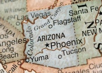
Welcome to Tonto National Forest
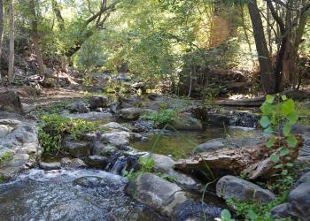
The Tonto National Forest spans 2.9 million acres of rugged, beautiful Arizona, offering unique landscapes including Sonoran Desert Saguaro cacti and flat lands that slowly give way to the highlands of the Mogollon Rim. This variety in vegetation and range in altitude— from 1,300 to 7,900 feet— offers outstanding recreational opportunities throughout the year, whether it's lake beaches or cool pine forests.
Updates from the Tonto
Resolution Copper Update
On March 16, 2026, acting Forest Supervisor Ericka Luna signed the record of decision for the Resolution Copper Project and released an errata to the final environmental impact statement. The agency published the final environmental impact statement in the Federal Register on June 20, 2025.
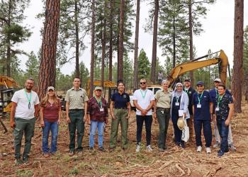
Managing The Land
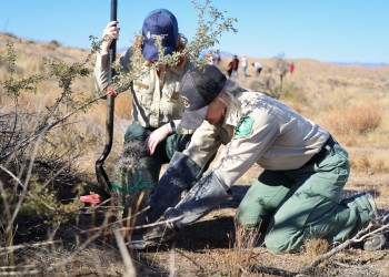
The Tonto National Forest has a crucial job managing natural resources that flourish for generations to come. Its resource management program encompasses a wide range of activities aimed at sustainably maintaining the health, diversity, and productivity of forest ecosystems.
Plan Your Trip
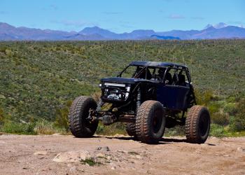
Recreation Opportunities
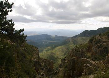
Unforgettable experiences are waiting! Eight lush wilderness areas, scenic flowing rivers, the Mogollon Rim's 200-miles of beauty and some of the best trails in the country.
Camping
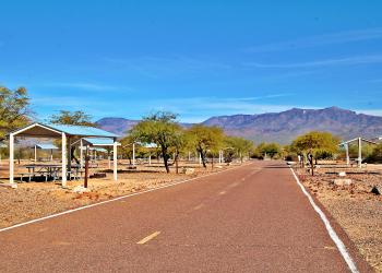
The Tonto has you covered whether you prefer open-air, tent, camper, group, RV, horse, dispersed or campground camping. Stargazing is an added bonus.
Find Your Way
Interactive, downloadable and print maps of National Forests and National Grasslands in Arizona and New Mexico.
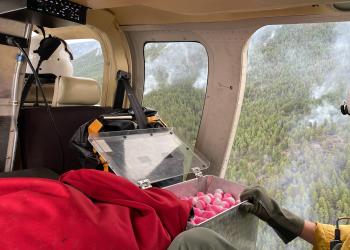
Fire Information
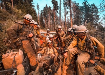
Your one-stop for fire information on the Tonto National Forest including fire restrictions, current and prescribed fires, emergency information and prevention.
Tonto Passes
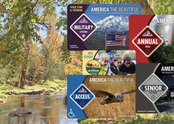
The Tonto National Forest offers many free activities such as hiking, biking, camping, birding, scenic drives and more, but some locations require a fee to help maintain, manage and improve the amenities you enjoy.
Get a Permit
The Forest Service manages lands to meet the demand for a variety of uses that benefit the public and protect the resources for future generations. A special use permit, or authorization, and other permits are tools to regulate use in a way that supports national policy and federal laws.
Click below for more information on different types of permits available on the Tonto National Forest.