
Geology
If you're interested in geology, traveling throughout the Bighorn National Forest will be very exciting. Some of the most accessible and dramatic examples are along U.S. Highways 14, 14A, and 16. The Wyoming Department of Transportation has placed informational signs labeling many of the formations.
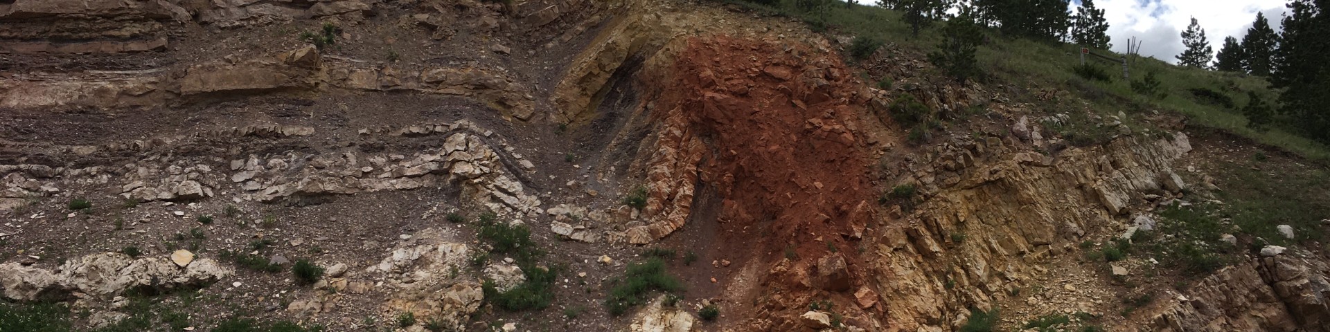
The Bighorn Mountains are a topographic high created by the Bighorn Arch; a Laramide-aged, doubly plunging, north-northwest trending structural anticline. The topographic extent of the Bighorn Arch is approximately 100 miles along axis and 40 miles wide, resulting from compressional forces during the Laramide Orogeny. The sedimentary basins on either side of the uplift indicate that a majority of uplift and erosion occurred in the early to middle Paleocene (68-60 Ma). The core of the uplift is comprised of Archean (2500-3000 Ma) igneous and metamorphic rocks. The flanks of the Bighorn Arch consist of steeply dipping Paleozoic and Mesozoic sedimentary rocks. The western flanks of the uplift are characterized by uniform and gently dipping strata while the eastern flanks are generally steeper dipping. Landslide deposits are common throughout the area. Multiple modes of landslides are observed, where certain modes are correlated with particular lithologies. For example, the Gros Ventre member is commonly associated with slump deposits, while the dolomitic Bighorn formation and limestones of the Madison Group have multiple mapped translational slides. Dip-slope debris flows are common in the Chugwater group.
Source: USDA Forest Service Elk Fire FS-2500-8 (10/2024), pages 3-4