
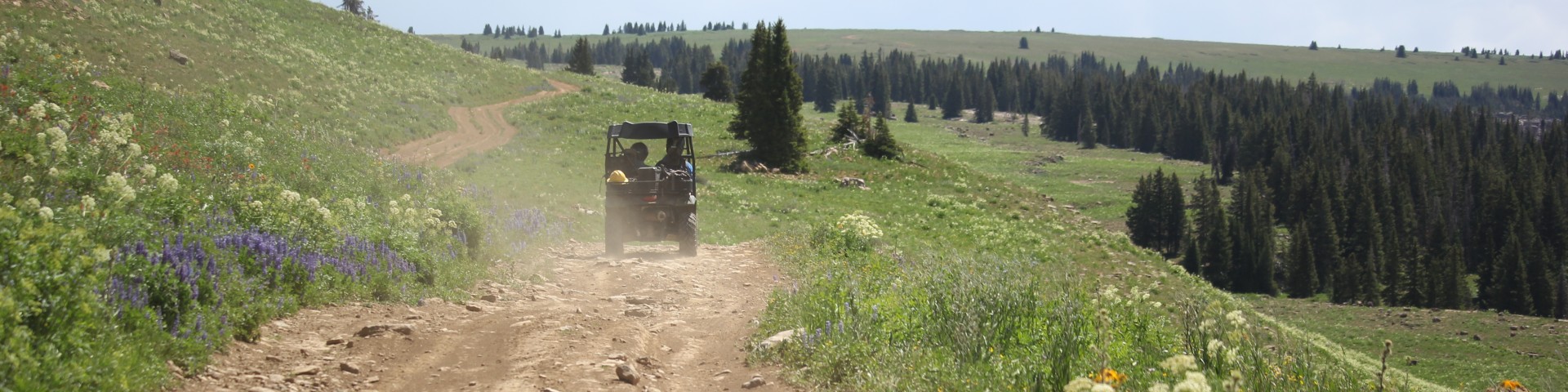
Off Highway Vehicles (OHV)
The White River National Forest's motorized trails are managed for 'summer' and 'winter/over snow' use:
• Summer travel: May 21- Nov. 22
• Winter travel: Nov. 23- May 20
Motor Vehicle Use Maps show all motorized roads and trails. These maps show when routes are open and what types of vehicles may use each route.
- Other than winter snowmobile use, motor vehicle travel is allowed only on designated trails and roads. Off-road/trail travel is prohibited.
- Federal law prohibits operation of any mechanical or motorized equipment within the boundaries of a Wilderness or other special closure areas.
- All OHV vehicles and over-snow vehicles must have a current state registration. Visit Colorado Parks and Wildlife to register your vehicle.
Search for Off Highway Vehicles (OHV) Opportunities
Adams Lake Road #601.2C
Adams Lake Road is accessible from Forest Road 601. The Road is 0.88 miles long and leads visitors to the northeast side of Adams Lake. Adams Lake is a fantastic setting for dispersed camping…
Aldrich Lakes Rim #2251
The Aldrich Lakes Rim Trail runs east-west from FS251 to FS252. The east end of the trial is rocky and rutted, and requires technical skills to traverse safely. It is not recommended for beginners.
Aspen-Sopris Ranger District
Aspen-SoprisAspen-Sopris Ranger District manages five Wilderness areas and the spectacular Maroon Bells Scenic Area. The historic Crystal Mill, Ashcroft ghost town, and the small mining town of…
Bar H-L Road (Forest Road #211)
Bar H-L begins at County Road 245, is 6.05 miles and is authorized for full sized street legal high clearnace vehicles; ohv, horse and foot traffic. Most of the trail is on the Blanco District.…
Bar HL/Hay Flat Trailhead FR #211
The Bar HL/Hay Flat road provides good access to a number of OHV trails; some provide loop opportunities and some are dead ends. This road requires a vehicle with clearance. Water bars can fill…
Battlement Jeep (Forest Road 847)
The Battlement Jeep Trail is 4.3 miles long and gains 2,000 feet of elevation. The route is extremely rough, rocky, and steep, and is recommended for experts only. Trail features include steep scree…
Battlement Mesa Area
The Battlement Mesa area is located south of Interstate 70 and shares its southern border with the Grand Mesa National Forest. The Battlement Mesa area can be accessed from Rifle, CO and…
Battlement Trailhead
The Battlement Trailhead provides access to the Battlement Jeep Trail (Forest Road 847) and the Lava Creek Trail (#2160.5). Both trails are open to foot and horse use, and the Jeep Trail is also open…
Bench Road (Forest Road #647)
Bench Road is 4.3 miles. It is open to high clearnace vehicles, ohv, motorcycles, horse and foot traffic. Bench Road completes a loop from #601. The road runs parallel just outside the Flat Tops…
Bison Lake Road #640.1
Bison Lake Road is 4.2 miles. It is open to high clearnace vehicles, ovh, motorcycle, horse and foot traffic. Taking 640 makes a nice loop from #601.