
Inspiration Point & Theodore Roosevelt Dam
Inspiration Point Overlook:
- Views of both the longest two-lane inverted arch suspension bridge in America and the largest lake in central Arizona.
- View parts of the original masonry structure that made Roosevelt Dam so unique - if lake level is low enough.
- Smaller parking lot, no restrooms
Theodore Roosevelt Dam Overlook:
- Upper and lower gazebos allow for partial or full views of the downstream face of the dam, the floodgates and the powerhouse.
- Aquatic life and waterfowl swimming in Apache Lake far below or occasional glimpse of a bald eagle in flight.
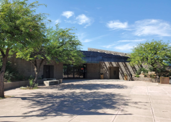
- Historic red sandstone building that once housed the Bureau of Reclamation Headquarters.
- Additional parking at this overlook; vault toilet available
Reservations
General Information
Considerations
- The Apache Trail National Forest Scenic Byway is a narrow, winding, mountain road suitable for most vehicles. Use extreme caution and keep to the right side of the road.
- No camping or overnight parking.
- No drinking water available.
- Please use trash receptacles, when available, or PACK IT IN PACK IT OUTI!
Day use only; no overnight camping allowed
Restrictions & Information
- There is no access to the dam.
- Information and history is posted on information boards; please read and observe posted rules and regulations of the area.
- Summer temperatures can exceed 110 degrees F, bring plenty of water when traveling the Apache Trail and desert recreation areas; drinking water is not available.
No Fees are required for this site.
Address: 28079 N. AZ Highway 188, Roosevelt, AZ 85545
Phone: (602) 225-5395
Hours: Open Mon.-Fri. 8 a.m. - 4:30 p.m. (closed noon to 1:30 p.m.) Passes, permits and products not sold after 4 p.m. Closed Saturday and Sunday (Closed on federal holidays) (Closed on federal holidays)
Getting There
Latitude / Longitude
Latitude: 33.6685808
Longitude: -111.1626683
Elevation
2,300 feet
Directions
From Mesa: Take State Hwy. 87/Beeline Highway north for approximately 60 miles to the junction of State Hwy. 87 and State Hwy. 188. Tum right and follow State Hwy. 188 for 33 miles to the junction with State Hwy. 88. Tum right and follow State Hwy. 88 for 1/2 mile to Inspiration Point Overlook (Roosevelt Lake side) or 1 mile to Theodore Roosevelt Dam Overlook (Apache Lake side). Entire route is paved.
From the Globe area: Take State Hwy. 188 west for approximately 30 miles to the junction of State Hwy. 88 and State Hwy. 188. Tum left and follow State Hwy. 88 for 1/2 mile to Inspiration Point Overlook (Roosevelt Lake side) or 1 mile to Theodore Roosevelt Dam Overlook (Apache Lake side). The entire route is paved.
Facility and Amenity Information
Restrooms
Restrooms are available at this site.
Water
Potable water is not available at this site.
Horse/Pack Animal Information
Horse/Pack animals are not allowed at this site.