





Queen Canyon
Queen Canyon Trail provides access to Boundary Peak, the highest point in Nevada at 13,140 feet. From the summit, the view takes in the Mono Lake basin to the north, the Sierra Nevada Mountains to the west, the White Mountains Wilderness to the south, while Nevada’s Basin and Range extends to the eastern horizon.
Hiking Boundary Peak
The hike to the summit of Boundary Peak is most often done as a long day hike. You need to have route finding and cross-country navigation skills, and we recommend acclimating to altitude for several days before undertaking this hike.
The Queen Canyon Route is approximately 9 miles round trip. It follows a well-defined use trail, ascending south and west from the saddle to the ridgeline overlooking Trail Canyon (10,800 feet elevation). The route continues along the south side of the ridgeline to Trail Canyon Saddle. From Trail Canyon saddle, the route to Boundary Peak is the same as the Trail Canyon route. Unless there is snow on the ground, there are no water sources along this route.
Leave-No-Trace in Boundary Peaks Wilderness
Simply designating an area as "Wilderness" does not assure its preservation. An understanding of the Principles of Leave-No-Trace will help keep human influence to a minimum while still providing opportunities for visitors to enjoy and experience the wilderness.
For more information go to Leave-No-Trace in Boundary Peaks Wilderness.
General Information
The access roads to the trailheads are usually snow-free by late May. Roads providing access to both the Trail Canyon and Queen Canyon trailheads require a high-clearance two-wheel drive vehicle. The last mile of the road to the Queen Canyon trailhead, however, requires a four-wheel drive vehicle.
- Maximum group size is 15 persons.
- Proper food storage is required.
Wilderness permits are not required.
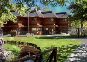
Address: 798 N Main St. Bishop, CA 93514
Phone: (760) 873-2501
Hours: Open Friday - Saturday 8:30am - 4:30pm
Getting There
Latitude / Longitude
Latitude: 37.90564722
Longitude: -118.35465833
Elevation
13,140 ft.
Directions
Queen Canyon Road (signed 01N14) begins at US Highway 6 approximately 2.5 miles north of the California/Nevada state line. Four-wheel drive vehicles are recommended, but high clearance two-wheel drive vehicles may be able to drive about 6 miles up 01N14. Follow 01N14 southeast towards the entrance to Queens Canyon, driving through road intersections at 1.3 miles and 1.9 miles. 01N14 enters the canyon at approximately mile 3, climbs past several mining cabins at mile 4.5, and reaches a flat mining pad at mile 6, where two-wheel drive vehicles should park. The road climbs more steeply beyond this point and reaches the trailhead area at a 9,800 ft. elevation saddle south of Kennedy Point.
Facility and Amenity Information
Restrooms
Restrooms are not available at this site.
Water
Potable water is not available at this site.


