
Incident Information
Inciweb

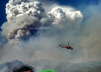
Stay informed about wildfires and natural disasters by visiting InciWeb. Click the button below for real-time updates, safety information, and resources to help you prepare and respond.
Fire Restrictions and Closure Areas

Fire restrictions and closure areas are shown at the bottom of the alerts page.
Air Quality
Information from AirNow.gov for the state of California - Interactive map is available.
Campfire Permit

These are free and are available online or at Forest Service offices. Remember to check for fire restrictions before you go!