





Visitor Maps and Guides
Where are you going? Adventure awaits! Use these maps to see where your outdoor recreation dreams can become reality in the varied landscapes of the Pacific Southwest Region's National Forest system lands!
New National Forests and Grasslands App

National Forests and Grasslands App includes Offline Maps, Safety Alerts, and Current Visitor Information
Your Pocket-Sized Forest Service Guide
We rely on our phones more than ever. Third-party apps can be outdated or inaccurate. Visitors have told us loud and clear—they want authoritative trail and recreation info straight from the Forest Service. Introducing the National Forests and Grasslands app: your pocket-sized Forest Service guide for closures, trail conditions, amenities, and more. Start planning your next adventure today!
Download Today!
The National Forests and Grasslands app is currently available for iOS- and Android-powered devices. The app does not collect personal information, and no data is shared with third parties It can be downloaded for free!
Snow Depth Map

Avenza Maps™

Avenza Maps™ is a mobile map app that allows you to download maps for offline use on your iOS and Android device. Beginning April 2026, the Forest Service can no longer update or add new digital maps to the Avenza Map Store. When a map is updated, the previous digital version will be removed from the store and not replaced. Digital maps that have not yet been updated will remain available on the store.
USGS National Map Store

Forest Visitor Maps and Atlases for each national forest and grassland provide forest-wide information on attractions, facilities, services, and opportunities. Also available: Wilderness, PCT and Special Area Maps.
Motor Vehicle Use Maps (MVUM)

The Motor Vehicle Use Map displays National Forest System routes (roads and trails) or areas designated open to motorized travel. MVUM maps are also available for free by contacting National Forest offices.
Forest Service Digital Maps
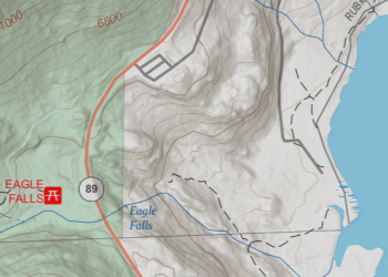
Forest Service Digital Maps are a collection of map series covering all lands administered by the USDA Forest Service, include national, regional, administrative, forest, ranger district, and topographic maps.
Forest Service GeoData
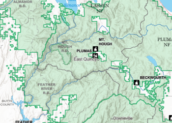
Through the Geodata Clearinghouse, you can find datasets related to forests and grasslands, including maps you can download.
Maps & Guides at Forest Offices
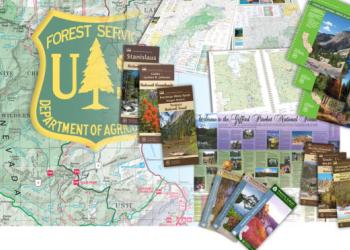
Many maps and visitor guides are available for free or purchase at Forest & Grassland Offices in the region.