
Recreation
Make reservations at Recreation.gov.
Remember to "Leave No Trace" when visiting the Forest so everyone can enjoy its scenic beauty for years to come!

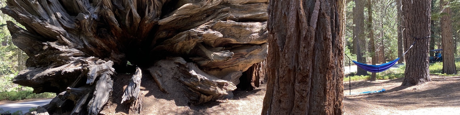
In the northern portion of the Giant Sequoia National Monument, 13 groves are in the Hume Lake Ranger District, east of Fresno, California.
There are currently five High Country Areas. Those are: Beckenridge, Lloyd Meadow, Piute Mountains, Scodie Mountains, and West Side Plateau.
Hume Lake Ranger District is the northern most portion of Giant Sequoia National Monument and neighbors to Kings Canyon and Sequoia National Parks.
The Kern River Ranger District offers something for every recreationist. The district covers 663,000 acres and offers 25 campgrounds and 10 developed day-use areas.
By the 1950s decades of damming, development and diversion had taken their toll on our country's rivers.
There are four Scenic Highways in the area. Those are: The Generals Highway, The Kings Canyon Scenic Byway, Sherman Pass Road, and The Western Divide Highway.
The 319,491-acre Western Divide Ranger District encompasses the southern portion of the Giant Sequoia National Monument and is centrally located in Sequoia National Forest.
The Pacific Crest Trail, or the PCT, is arguably the most famous of the nation's designated National Scenic Trails. Winding its way through spectacular vistas fr