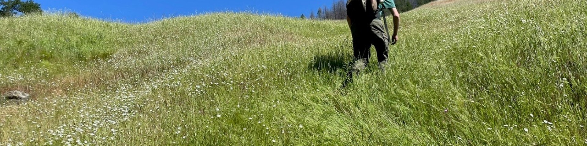
Hiking
The Six Rivers National Forest has hundreds of miles of trails for hikers. From a smooth path through the deep forest to a challenging ascent of the wilderness areas, opportunities abound for most experience levels.
Backpacking
Backpacking on the Six Rivers offers opportunities for the hiker to enjoy getaways to places that very few people ever see. With hundreds of miles of trails hikers can explore areas where they will encounter few, if any, other visitors.
General Hiking
It is not possible for us to visit all trails on a frequent basis. We often must rely on reports from the public concerning current trail conditions. If you visit any trails on the forest and note conditions different from what is listed here, we invite and welcome you to report what you observe to our headquarters at (707) 442-1721.
Headquarters
Day Hikes
Numerous interesting short trails provide the casual hiker an insight into the natural and cultural landscapes of the Six Rivers.
Search for Hiking Opportunities
Showing: 1 - 10 of 22 results
Big Flat Campground
Big Flat Campground is a small, quiet campground bordered by Hurdygurdy Creek. Since it is far from towns and highways, it’s the perfect place to “get away from it all.” The campground is…
Boise Creek Campground
Boise Creek Campground is located in a lovely forest setting that includes large Pacific madrone, Douglas-fir, and California bay trees. The campground is located 2 miles east from the town of…
Doe Flat Trailhead
4.25 miles Easy/moderate Trailhead elevation: 4500' Trail end elevation: 3200' Driving time: 1.2 hours Trailhead access from the Smith River NRA Visitor Center, 10600 US Highway 199, Gasquet,…
Elk Camp Ridge (#2E04)
Originally a pack train trail between Crescent City, CA and the gold mines of the Illinois Valley in Oregon, this scenic trail presents panoramic views of high mountain peaks, the Pacific Ocean, and…
Fish Lake Campground
Fish Lake Campground is located approximately 1,780 feet above sea level in a mixed hardwood and conifer forest with many fir and Port-Orford-cedar trees. There are five vault type unisex accessible…
Grassy Flat Campground
Grassy Flat Campground is adjacent to the Middle Fork of the Smith River. Highway 199 borders the north side. True to its name, it is flat but not grassy. Trees shade the campground and shrubs fill…
Lower Trinity Ranger District
The Lower Trinity Ranger District is bisected by State Highway 299, the main travel route in Northwestern California to reach the Northcoast. Willow Creek is Approximately 100 miles west of Redding…
Mad River Ranger District
The Mad River Ranger District is located on Highway 36 approximately 50 miles east of Highway 101 and the Eureka/Arcata area and 100 miles west of Interstate 5 and the cities of Redding and Red…
Marble Mountains Wilderness Area
The Marble Mountain Wilderness is one of California’s oldest formally designated wilderness areas. Originally established in 1931 as the Marble Mountain Primitive Area, it later became one of the…
McCash Loop (#5823)
This trail provides access to Big Meadow and Long Meadow, with a number of good campsites, mostly undulating through forest along the meadow margins. At the top of Long Meadow, the trail makes a…