
Fremont National Recreation Trail #160 - Southern
Fremont National Recreation Trail #160, Southern Segment of Fremont National Recreation Trail #160 runs from Crooked Creek Drainage to Vee Lake.
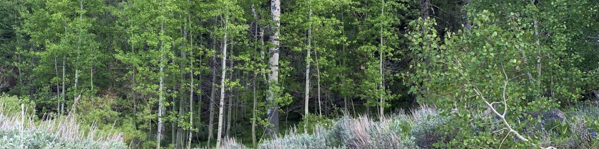
This trail travels along the Crooked Creek drainage for the first 7.5 miles. The upper portions of this boisterous little stream flow through virgin stands of mixed conifers, including some very large diameter ponderosa pines. The trail crosses all three forks of Crooked Creek near its junction with the Fremont National Recreation Trail (NRT) #160. Continuing north, the trail ascends and traverses the slopes of Twelvemile Peak, McDowell Peak, and Crook Peak. The views from all three of these mountains are spectacular in all directions.
In the spring and early summer, the profusion of wildflowers in this region of the Warner Mountains further enhances the scenic vistas available along this trail. The Warners are also noted for their diverse and abundant population of butterflies. Continuing from Crook Peak, the trail accesses Swale Trailhead and then descends into Honey Creek drainage. Brightly colored lichen-encrusted rock outcrops and cliffs loom over the trail in this vicinity and native Redband trout populate the stream. From the Honey Creek canyon the trail continues on up to Vee Lake, the southern terminus of the Fremont NRT. Vee Lake has a healthy population of rainbow trout as well as a pair of resident ospreys who "fish" for them throughout the ice-free months.
This trail has a difficulty level of from easy to moderate. Most grades are under 10%.
General Information
Year round - weather dependant
Treat all non-potable water before consuming
Getting There
Directions
This segment of the Fremont NRT begins at Mill Trailhead and runs east and north for approximately 18 miles to Vee Lake Trailhead. It also connects with the Crane Mountain National Recreation Trail #161 approximately 1/2 mile west of the South Fork Crooked Creek Trailhead.
Fremont-Winema National Forest (541) 947-2151
Additional Information
Operated By
Forest Service
Nearby Recreation Sites
Recreation Opportunities
Recreation Groups

The Fremont National Recreation Trail, also known as the Southern Oregon Intertie Trail, traverses most of the length of the Fremont National Forest from north to south.