Outdoor Science and Learning
The independent visitor to the Malheur National Forest may enjoy learning more about the history, ecology, and forces of nature surrounding them. Several self-guided interpretive sites are easily accessible
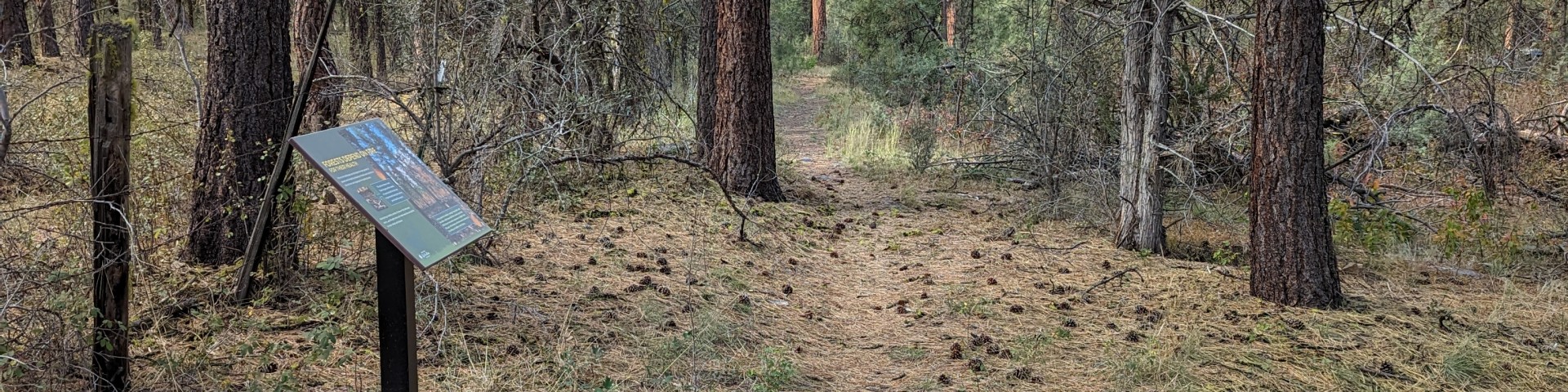
Interpretive Areas/Exhibits
The Malheur National Forest had great stops for those traveling through the area to learn and enjoy the forest and interpretive trail highlights.
Learn about a variety of plant communities, wildfire and the process of recovery from interpretive signs, and travel trails reading the history of the Sumpter Valley Railway, and reading signs explaining the history of the old growth forest.
Viewing Wildlife
Wildlife are abundant throughout the area from big game animals such as Rocky Mountain Elk and mule deer to smaller creatures such as rabbits, squirrels and chipmunks all call the area home. Bird watchers will enjoy a wide variety of birds from sparrows to large predatory birds such as eagles and hawks.
Wildlife viewing opportunities abound in the area. Wildlife range from big game animals such as prong horn antelope and mule deer to a wide variety of birds including the rare white-headed woodpecker. Smaller creatures such as squirrels and chipmunks are a common site throughout the area.
Viewing Plants
Throughout the Malheur National Forest you can view beautiful ponderosa pine trees, old growth ponderosa pine trees, sagebrush and mountain mahogany. Plants are abundant including wildflowers throughout the spring and early summer, and in fall the huckleberry bushes throughout the area are abundant.
Viewing Scenery
The area is a wonderful place to view nature and see first hand how nature recovers from large wildfires. The overlook provides a wonderful view of the Pine Basin.
Search for Outdoor Science and Learning Opportunities
Showing: 21 - 30 of 32 results
Pine Springs Overlook Observation Site
Dry lightening ignited multiple large scale fires in this basin in 1990 and then again in 2007. The viewpoint overlooks the area that was burned and interpretive signs explain the process of…
Roads End
Roads End Trailhead is an easy walk to a spectacular view of the John Day Valley to the north and Bear Valley to the west and south. The entire length of the trail is on an old roadbed within the…
Short Creek Guard Station
Short Creek Guard Station rests in a corner of a small meadow surrounded by tall ponderosa pines and a creek right outside the back door. The cabin amenities provide all the comforts of a home. …
Slide Horse Camp
Just up the road from the campground is the Slide Connector Trail #386, this trail is a great starting point for horse riders heading into the wilderness. The campground sets amongst ponderosa pines…
Starr Campground
Starr Campground is located just off of US Highway 395 making it very easy to get to. The campground has an upper level that is closer to the highway, yet still set back amongst beautiful ponderosa…
Strawberry Campground
The campground is located at the edge of the Strawberry Mountain Wilderness. Set amongst ponderosa pine in a beautifully wooded area, the campground is an excellent starting point for anyone…
Strawberry Mountain Wilderness
The Strawberry Mountain Wilderness is located east of John Day, Oregon, in the Malheur National Forest. The area includes approximately 68,700 acres and encompasses the headwaters of Pine, Indian,…
Sunshine Guard Station
The Sunshine Guard Station is located approximately 43 miles from the town of John Day, Oregon at 3,700 feet in elevation. This rustic cabin has four rooms - a kitchen, a living room and two…
Swick Old Growth Interpretive Site
Established in an old growth ponderosa pine stand, this area includes a short barrier-free trail with interpretive signs, longer trail through additional old growth area, a parking area, picnic…
Vinegar Hill Indian Rock Scenic Area
Located in the northeast part of the Forest, this high elevation area provides spectacular vistas of the North Fork John Day Wilderness, the Middle and North Fork drainages of the John Day River, and…