
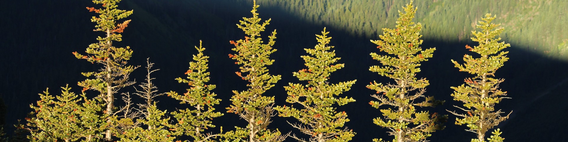
Quilcene Area
A true vision of a Pacific Northwest forest, the Quilcene area is home to big trees, rushing rivers and rolling fog lines. With a multitude of hiking opportunities, the trails in the Big Quilcene area offer something for novice and experienced hikers alike. On its lower slopes, this area is known for its bountiful mushrooms and year-long greenery of moss and evergreen trees, while at its highest elevations within the Buckhorn Wilderness, this area includes steep terrain, barren ridges, rocky cliffs and sharp peaks.
Recreation Sites
Elbo Creek Trail
This moderate 2.5 mile forested trail ascends through to the top of a storm blow down with nice views. Some difficult sections. A great place to observe a variety of plant life in the late spring and…
Elbo Creek Trailhead
Site Open
Provides access to: Elbo Creek Trail #892.1
Falls View Campground
Site Open
Forest of conifers and rhododendrons located high above the Big Quilcene River. Nearby Hood Canal and Quilcene Bay are known for their oysters and clam beds with swimming, boating and waterskiing…
Falls View Canyon Trail #868
This one mile second-growth forest canyon trail leads to Big Quilcene River among spring blooming rhododendrons, lilies, and honeysuckle.The short Falls View Loop Trail is adjacent to Falls View…
Falls View Canyon Trailhead
Site Open
Located within Falls View Campground. Provides access to: Falls View Canyon Trail #868 and picnic area. Falls View Loop Trail is adjacent to Falls View Canyon Trail and leads to a view of the…
Gold Creek Trail #830
This 6.3 mile trail starts at Lower Dungeness/Gold Creek trailhead on Forest Road 2870-230. Junction with Sleepy Hollow Trail #852 is at 2.9 miles. Conifer forest on steep mountain slopes in the…
Gray Wolf Trail #834 - Lower
This trail travels through dense hardwoods and conifers along the Gray Wolf River. Trail is 4.2 miles to the former bridge site and end of trail. This scenic canyon contains spring blooming native…
Gray Wolf Trail #834.2 - Upper
To access the Upper Gray Wolf Trail take Slab Camp Trail #838 to the bridge over the Gray Wolf River. Take a right (southwest) after crossing the bridge to begin the trail. Beyond this point, the…
Gray Wolf Trailhead
Site Open
Provides access to: Lower Gray Wolf Trail #834 which enters Buckhorn Wilderness but ends before reaching Olympic National Park.
Home Lake Trail #893
Within Buckhorn Wilderness this .9 mile trail can be accessed by traveling on the Upper Dungeness Trail 833.2 for 5 miles. The trail begins at Boulder Shelter and ends at Olympic National Park…