
Quilcene Area
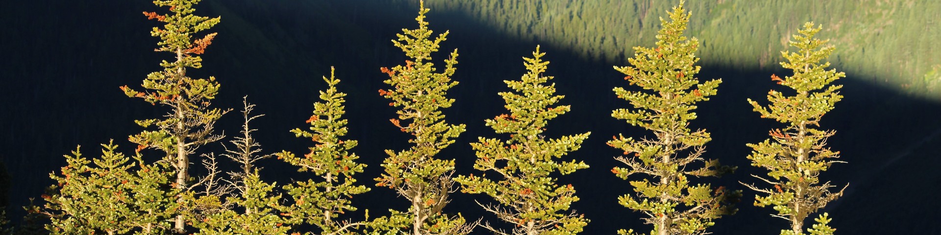
A true vision of a Pacific Northwest forest, the Quilcene area is home to big trees, rushing rivers and rolling fog lines. With a multitude of hiking opportunities, the trails in the Big Quilcene area offer something for novice and experienced hikers alike. On its lower slopes, this area is known for its bountiful mushrooms and year-long greenery of moss and evergreen trees, while at its highest elevations within the Buckhorn Wilderness, this area includes steep terrain, barren ridges, rocky cliffs and sharp peaks.
Recreation Sites
Murhut Falls Trailhead
Site Open
Small parking area at the trailhead. The nearest potable water is at Collins Campground when the campground is open (May to September).Provides access to: Murhut Falls Trail #828
Ned Hill Trail #837
This is a short steep day hike, with benches placed along the trail. Many opportunities to view rhododendrons from mid-May to early June. Trail does enter the northern boundary of the Buckhorn…
Ned Hill Trailhead
Site Open
Notch Pass Trail #831
Hiker trail only. Hike through dense conifer forest on a trail constructed in the 1930's by Civilian Conservation Corps trail crews and get glimpses of the Olympic peaks including Mt. Constance.
Notch Pass Trailhead (1st access)
Site Open
Provides access to: Notch Pass Trail #831
Notch Pass Trailhead (2rd Access)
Site Open
Provides access to: Notch Pass Trail #831This trailhead offers the closest access to the pass.
Notch Pass Trailhead (3rd Access)
Site Open
Provides access to: Notch Pass Trail #831
Rainbow FallsTrail #892
Beautiful 1/2 mile forested hike descending to the Big Quilcene River. Grades up to 20%.
Ranger Hole Trail #824
This trail shares a trailhead with the accessible interpretive Interrorem Trail #804 which forms a loop. Ranger Hole Trail leads 0.8 miles down to the Duckabush River and the historic fishing spot of…
Ranger Hole Trailhead
Site Open
Provides access to: Ranger Hole Trail #824 and Interrorem Nature Trail #804.Ranger Hole Trail #824 is a 0.8 trail that leads to the Duckabush River and the historic fishing spot of the first ranger…