
Hiking
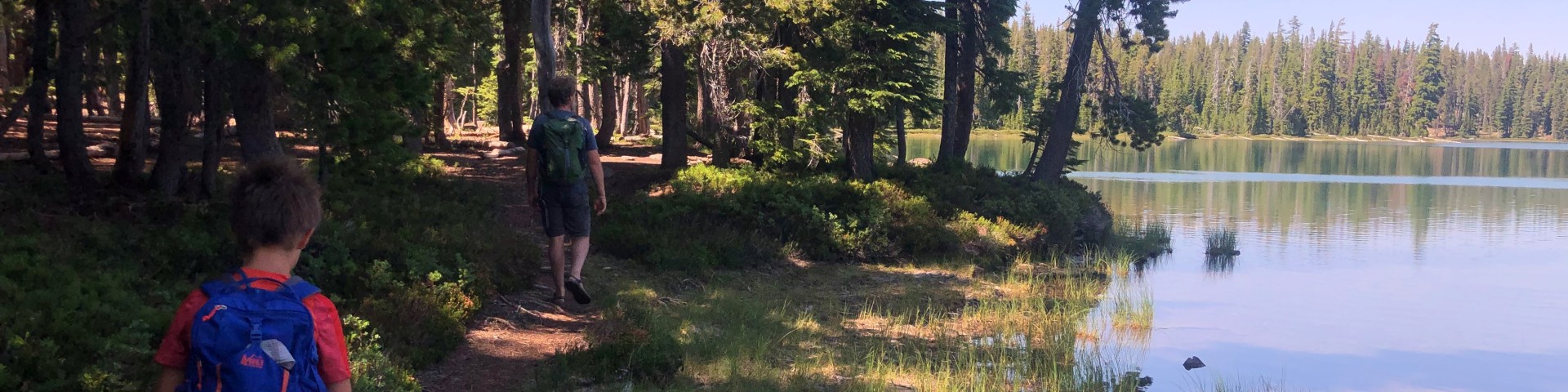
The Rogue River-Siskiyou National Forest has many, many miles of trails that meet all different needs for those wishing to hike and run on the national forest. Whether you're shooting for a quick day hike or planning an ultrarunning experience, there's something for everyone, and plenty of places to explore.
Visit a ranger district office, our Visitor Maps and Guides page, or National Forest Store to obtain a trail map to help you plan your route based on your ability, available time and interest. Mapping apps with GPS features are also incredibly helpful, as reception is spotty or unavailable across most of the forest!
Please follow these safety tips to ensure a safe adventure:
- Being prepared includes knowing how to be a responsible hiker. Learn more on our Responsible Recreation page.
- Stay on designated trails.
- Don’t hike alone. Let the slowest person in your party set the pace. This is especially important when children are a part of your group.
- Leave your itinerary with a friend or family member and check in with them upon your return.
- Develop an emergency plan before you start your trip. Make sure everyone knows what to do if they become lost or a medical emergency arises. Give children whistles with the instructions to "stop and blow" if they become lost.
- Take frequent rests or vary your pace to maintain your energy level.
- Drink plenty of water, even on cool, wet days. Never drink your entire supply between refills.
- Wear appropriate clothing, including sturdy boots that are broken in and are comfortable.
- Consider using a hiking pole or walking stick to help maintain your balance in unlevel or hazardous areas.
- Be aware of your surroundings, and pre-plan your approach before hiking through more hazardous areas. Wet surfaces can be a hazard and even more so if it's on a slope.
Backpacking
The Rogue River-Siskiyou National Forest is home to 8 Wilderness Areas, and most of them provide ample backpacking opportunities:
- Siskiyou Wilderness Area
- Kalmiopsis Wilderness Area
- Sky Lakes Wilderness Area
- Red Buttes Wilderness Area
- Rogue-Umpqua Divide Wilderness Area
- Wild Rogue Wilderness
Other places ripe for great backpacking adventures are the portion of the Pacific Crest Trail that passes through the Rogue River-Siskiyou National Forest, the Lower Rogue River Trail, and the Upper Rogue River Trail.
General Hiking
Every district on the forest offers hiking and trail running opportunities! From the easily accessed trails of the Ashland Municipal Watershed to the more trails like that to Babyfoot Lake on the edge of the Kalmiopsis Wilderness Area, there are ways to get out and see the Rogue River-Siskiyou National Forest for everyone!