




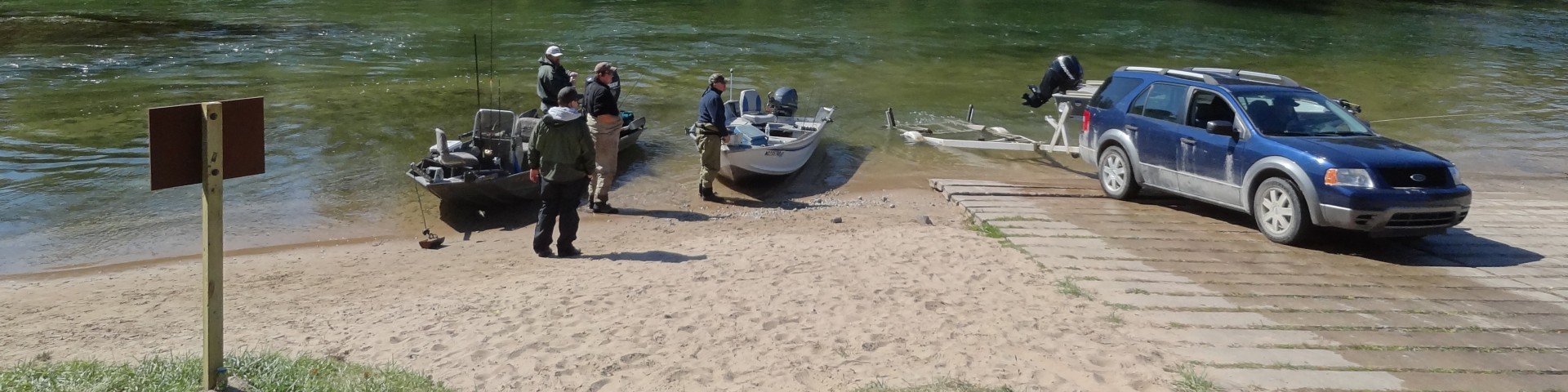

High Bridge River Access
The Pere Marquette Railroad crossed the Big Manistee River on a 96-foot high, 1,200 ft long iron truss bridge. The bridge was torn down in 1955 but the foundations and some pilings are still seen there today .5 miles east of the site.
Today's High Bridge is a low, two-lane country road bridge. The North Country National Scenic Trail crosses High Bridge opposite the access road. Visitors can access the trail from this site, however, it is not a designated trailhead. Along the entrance road there is a historical display with railroad ties. In the winter snowmobilers may park here with their trailers, but this is not a trailhead.
Active Alerts
General Information
Year-round; plowed in winter.
Open 24 hours a day, 7 days a week unless otherwise posted.
As a visitor to the National Forest, you are asked to follow certain rules designed to protect the Forest, natural resources and to provide for public safety of visitors. Rules specific to the Huron-Manistee National Forest are available on-line or at any office of the Huron-Manistee National Forests. Please take time to read and understand them. General Topic orders apply across the Forests.
Applicable Orders -
- Motorized Vehicle Use of Roads, Trails and Off-road Areas; R904-14-02
- Occupancy and Use; R904-18-02
Information about when a Special Use Permit is required can be found on the Permits page.
Day Use:
$5 vehicle per day
$15 per seven day
Daily and 7-day passes can be purchased on-site with cash or check, or purchased on recreation.gov. Daily, 7-day and annual passes can be purchased at Huron-Manistee National Forest Offices. More information can be found on the Passes page.
Canoe Rentals -
- Manistee
- Manistee Paddlesport Adventures
- Irons
- Enchanted Acres
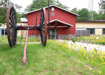
Address: 1170 Nursery Road Wellston, MI 49689
Phone: (231) 848-7090
Hours: Monday to Friday 9 a.m. to 4 p.m. (Closed on federal holidays)
Office Email: sm.fs.hmnf@usda.gov
Getting There
Latitude / Longitude
Latitude: 44.26833333
Longitude: -86.01583333
Parking
60 vehicle capacity - with trailers
Facility and Amenity Information
Restrooms
Vault toilet(s)Water
Potable water is not available at this site.
Nearby Trails
Recreation Opportunities


Recreation Groups

The Manistee River between Tippy Dam and the M-55 Bridge was designated as a National Recreational River in 1996.

Did you know that the North Country National Scenic Trail (NCNST) passes through three National Parks, eight National Forests, and one National Grassland?