
South Branch Trail Campground and Trailhead
The campground is adjacent to the South Branch River, near the Au Sable River Semi-Primitive Nonmotorized Area. If you are traveling west to east, the South Branch Trail Campground and the River Road Trail Campground are the last two campgrounds before reaching Lake Huron.
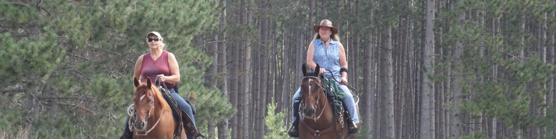
The Shore-to-Shore Trail begins in Empire near Lake Michigan, on the west side of the state and ends at Lake Huron on the eastern side of the state. The trail passes under I-75, north of Grayling, and then continues eastward to follow the historic Au Sable River to its end in Au Sable, just south of Oscoda.
General Information
Location - Shore-to-Shore Horse Trail
Nearby Recreation Areas -
- South Branch River
County - Iosco
Seasonal and Other Information -
- Gated when closed.
May 3 - September 30
Open 24 hours a day, 7 days a week unless otherwise posted. Forest quiet hours apply.
Special Use Permit -
- No special use permit is required for individuals or small groups (74 people or less).
- Permits are required for commercial, event or large groups (75 people or more).
Visit the Passes and Permits section for more information on obtaining a special use permit.
Allowed
- Nonmotorized Use
- Nonmotorized Snow Use
- Saddle and Pack Animals
Prohibited
- Motorized Vehicles
- Motorized Over-snow Vehicles
As a visitor to the National Forest, you are asked to follow certain rules designed to protect the Forest, natural resources and to provide for public safety of visitors. These rules are available to you on-line or at any office of the Huron-Manistee National Forests. Please take time to read and understand them. General Topic orders apply across the Forests. Applicable Orders -
- Motorized Vehicle Use of Roads, Trails and Off-road Areas; R904-14-02
- Occupancy and Use; R904-14-03
Camping (per night):
Single Site: $15.00.

Address: 5761 N. Skeel Road Oscoda, MI 48750
Phone: (989) 739-0728
Hours: Monday to Friday 9:00 am - 4:00 pm (Closed on federal holidays)
Getting There
Latitude / Longitude
Latitude: 44.48555556
Longitude: -83.79583333
Directions
From Tawas-
- Travel west on M-55 for 14.7 miles.
- Turn right and travel north on M-65 for 14 miles.
- Turn left and travel west on Rollway Rd. for 3 miles.
- The site is located on the right.
Parking
65 vehicle capacity
Facility and Amenity Information
Restrooms
Restrooms are available at this site.
Water
Potable water is not available at this site.