






Britton Peak Trailhead
The trail to Britton Peak is possibly the shortest trail to a Sawtooth Mountain overlook on the Forest. It is a quick, though steep, quarter mile hike with a nice scenic view from the top. It is a short deadend branch off the northbound Superior Hiking Trail. The Superior Hiking Trail southbound from the Britton Peak Trailhead includes the deadend Carlton Peak Trail to the summit of Carlton Peak.
This is also the starting point for the Britton Peak singletrack mountain biking trails in the summer, and the Sugarbush crosscountry ski trail system in the winter.
Be aware when either biking or hiking that the mountain bike trails may be used by both bikers and hikers. Hikers should step off the trail and yield to bikers when they meet.
General Information
Open 24 hours/day
Day Use:
Great Minnesota Ski Pass Required for All Ages 16 and Over
$10 per vehicle per day
$25 per season
$70 per 3-Seasons
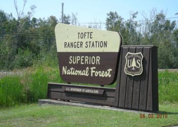
Address: 7355 West Hwy 61 Tofte, MN 55615
Phone: 218-663-8060
Hours: October 1, 2026, to April 30, 2027: Tuesday to Thursday, 9:00 a.m. to 4:00 p.m. Eastern National Forests Interpretive Association retail sales products are available. (Closed on federal holidays)
Office Email: SM.FS.Superior_NF@usda.gov
Getting There
Latitude / Longitude
Latitude: 47.59918771
Longitude: -90.86222666
Directions
From the north
- Head south on Highway 61 from Grand Marais, take a right on Sawbill Trail (just before the Bluefin in Tofte) and drive up the hill about 3 km. Turn right into the clearly designated parking area.
- Ample parking and well-marked trail posts indicating the path to Britton Peak.
From the south
- Head north on Highway 61 out of Tofte, take a left on Sawbill Trail. Drive approximately 3 km, and turn right to the trail head.
Parking
Ample parking at trail head.
Facility and Amenity Information
Restrooms
Vault toilet(s)Water
Potable water is not available at this site.
Recreation Opportunities


Recreation Groups

The Sawtooth Mountains Fall Color Tour in the Tofte Ranger District is made of four linked routes: Beaver Dam, Moose, Maple Leaf and Mountain View Drives Each i

The Lake Superior Hiking Trail is a 300-mile trail around Lake Superior, around 150 miles of the trail follows the Lake Superior shoreline through the Superior National For