
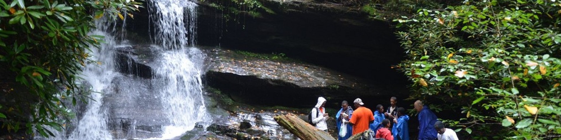
Recreation
Interactive Forest Visitor Map
Use the Interactive Forest Visitor Map to locate roads, campgrounds, trails and other recreation sites on the Chattahoochee-Oconee National Forest. You can zoom in for high resolution detail and change the background map to suit your needs. Using the Tools icon, you can print your map or save it as a Geo PDF map. You can also import your Geo PDF to your phone or tablet using a program like Avenza to show your live location on the map - even without a cell signal!
From the rolling hills of the Piedmont to the mountains of the southern Appalachian mountains, there are all kinds of outdoor activities to enjoy.

About the Area - Recreation Overview
Site Open
From the rolling hills of the Piedmont to the mountains of the southern Appalachian mountains, there are all kinds of outdoor activities to enjoy. Learn more about this area and an overview of…
Andrews Cove Campground
Site Open
Andrews Cove Recreation Area in White County offers a cool mountain stream and a peaceful atmosphere, and is only 15 minutes from the popular alpine village of Helen, Georgia.Andrew's Cove CG is…
Angel Falls Trailhead
Site Open
The Angel Fall Trailhead has 2 locations. The first is located in Loop 2, area 2 of the Rabun Beach Campground that is not available during the Winter season. This is mostly an easy trail with a…
Anna Ruby Falls Recreation Area
Site Open
Visit twin waterfalls plunging more than 150 feet (tallest) on the paved trail from the visitor information center. While there enjoy a picnic at any of our picnic sites or take a short walk on the…
Aska Trail System
Site Open
The Aska Trail System provides approximately 17 miles of recreational trails for bicyclists and hikers. This area is located in Fannin County off of Aska Road, and less than ten miles from downtown…
Ball Field Dispersed Camping Area
Site Open
A large grassy field located approximately 1 mile from Lake Conasauga Recreation area. Primitive camping--no amenities. Campers may utilitize Lake Conasauga recreation opportunities by parking in…
Barnes Creek Picnic Area
Site Open
Barnes Creek is a simple picnic area with a small waterfall nearby.
Bartram Trail
Site Open
William Bartram, the distinguished explorer, naturalist and writer who embarked on a four-year journey traveling through eight southern colonies in 1773, not only discovered new and unique native…
Bear Creek Trail
Site Open
Single track trail takes rider along scenic Bear Creek through forests of hemlock-cove hardwood-rhododendron. Witness the Gennett Poplar, an immense, old growth poplar standing alongside the…
Beasley Knob OHV Trail System
Site Temporarily Closed
The Beasley Knob OHV Trail System is a challenging trail system located off of U.S. Highway 76 in Union County, GA. It is conveniently located two miles east of the town of Blairsville and can be…