
Recreation
Recreation opportunities can be viewed as occurring in 5 fairly broad geographic regions, each centered around one or more distinctive features:
- Priest Lake Region (Priest Lake Ranger District - flanking scenic Priest Lake and Upper Priest Lake)
- Lower Kootenai River Region (Bonners Ferry Ranger District - rugged mountains surrounding the Kootenai River as it flows through the northern panhandle)
- Pend Oreille Lake Region (Sandpoint Ranger District - centered around Pend Oreille Lake and its major tributaries - Clark Fork River, Lightning Creek, and Pack River)
- Coeur d'Alene River Region (Coeur d'Alene River Ranger District - comprised largely of the Coeur d'Alene river basin)
- St. Joe River Region (St. Joe Ranger District - comprised primarily of the St. Joe River basin)
Note the area you'd like to stay or explore and then discover the recreation opportunities.
Or choose an activity and see where on the forest it is offered.

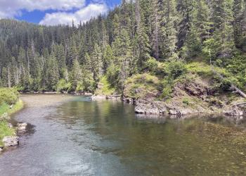
Recreation opportunities in the Coeur d'Alene River Region are as diverse as the landscape.

The Lower Kootenai River Region is bordered by the Purcell and Cabinet Ranges on the east, the Selkirk Range on the west, and Canada to the north.

The area provides world-class recreation opportunities year-round, centered around the state's largest lake with a surface area of 148 square miles.
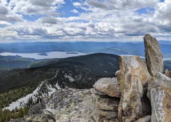
Often called Idaho's "crown jewel," Priest Lake is flanked by the rugged Selkirks and the Canadian border, offering abundant recreation opportunities.
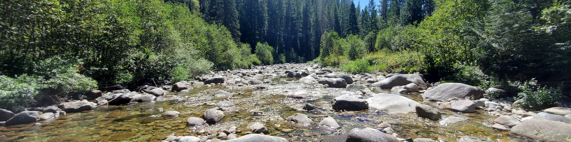
The St. Joe River Region is an area of blue-ribbon cutthroat trout streams, Wild and Scenic Rivers, and extensive roadless and primitive areas.

The Pacific Northwest National Scenic Trail passes through the Idaho Panhandle National Forest on its route, running from Glacier National Park to the Paci