

Recreation
Do you love the outdoors? You can always find something fun to do on the Manti-La Sal National Forest! Search by regions of our forest, or recreation opportunities of interest!
Know before you go by reading some of the Rules for Camping and Traveling on the Manti-La Sal National Forest.
Dispersed Camping
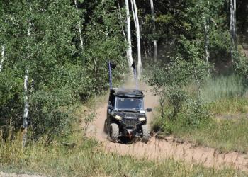
For many people dispersed camping is a way to enjoy the solitude and primitive experience of camping away from developed campgrounds and other campers. Dispersed camping is the term used for camping anywhere in the National Forest away from a designated campground. Dispersed camping means no services; such as trash removal, and no facilities; such as tables and fire pits, are provided.
Road and Gate Conditions

The Manti-La Sal National Forest offers five Ranger Districts (RD) across the forest: Ferron, Price, Sanpete, Moab, and Monticello.
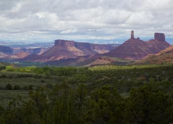
Located near scenic national and state parks, this portion of the forest offers breathtaking views and recreation opportunities that will enhance your visit to the area.
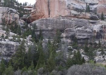
The Monticello Recreation Area is home to the Dark Canyon Wilderness, Bears Ears National Monument and Abajo Mountains.

This page is dedicated to the recreation within the Price Ranger Districts, called the Price Recreation Region.

Located on the Wasatch Plateau, the Sanpete area has opportunities for hunting, camping, and fishing.

Roads, gates, and favorite areas on the South Zone (Moab and Monticello Ranger Districts) of the Manti-La Sal National Forest: South Zone Roads and