
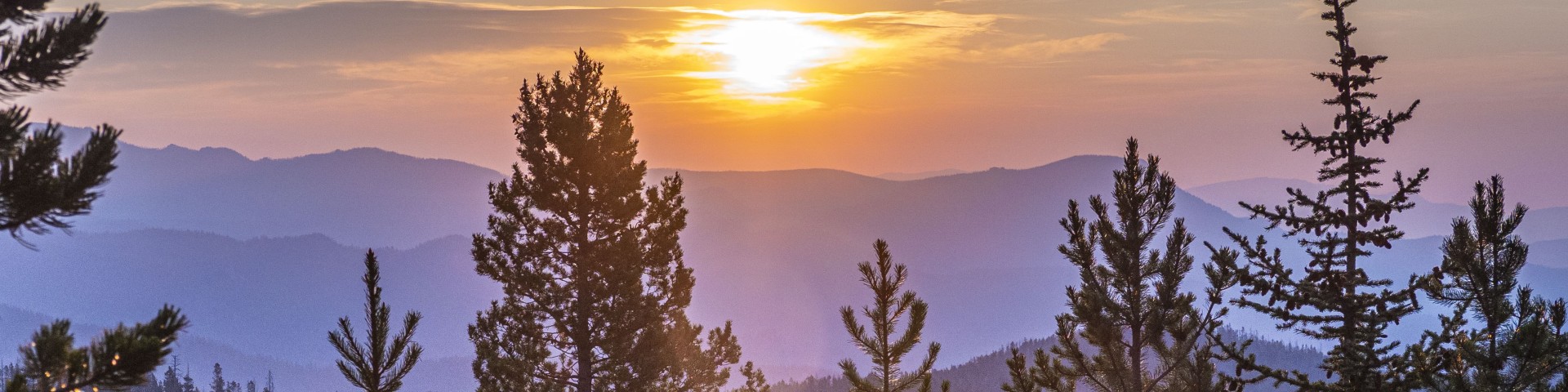
Welcome to the Beaverhead-Deerlodge National Forest
Welcome! We've transitioned our public websites to a modern web platform to better serve the public. With thousands of pages to update, some content may take longer to appear. Some old content has been archived during this process, as well.
We appreciate your patience as we work to make it easier than ever to access information and explore your national forests - both online and on the ground. Please send us an email if there is something you can't find:
The forest provides timber, minerals, grazing lands, and breath-taking scenery for a wide variety of recreational pursuits. Whether it's wilderness trekking in the Anaconda-Pintler or Lee Metcalf wildernesses, driving the Gravelly Range Road or Pioneer Mountains Scenic Byway, or camping in one of the campgrounds in the forest, the Beaverhead-Deerlodge has it all.
Recreation
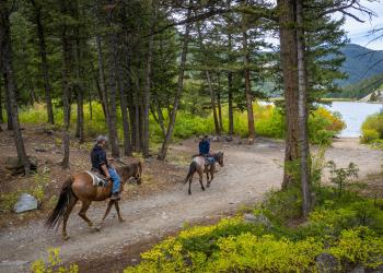
Explore campgrounds, cabins, and recreational opportunities.
Book a cabin
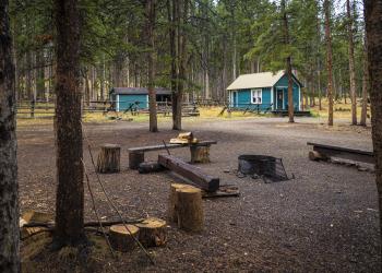
Find a cozy retreat in a beautiful setting.
Get permits
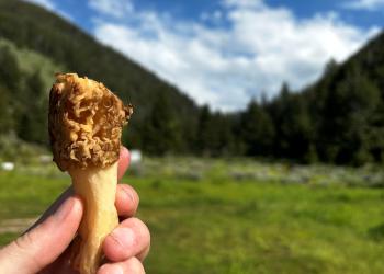
Harvest firewood, Christmas trees, mushrooms, and more.
Explore safety & ethics
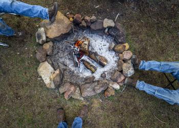
Discover tips for coexisting with our furry friends, winter recreation, campfires, and more.
Recent news

Keep up to date on the latest information.
Have a question?

Let us know how we can help