Welcome to Chippewa National Forest
Fall for the Chippewa!
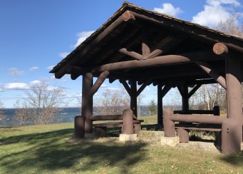
The Chippewa National Forest puts on a dramatic show of fall color when the weather begins to cool. The fall season is a favorite for visitors who want to take in the gold tamaracks, red maples, campfires, and cool breezes of the season. The Chippewa National Forest offers miles of scenic byways to travel, as well as colorful trails. After a busy summer, many visitors seek out a quiet drive through the colorful autumn forest.
Recreation Opportunities

Biking on the Chippewa National Forest has changed dramatically over the last ten years. Ten years ago, mountain bikes were the only option to travel…
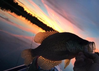
The Chippewa National Forest offers excellent opportunities for hunting and fishing. The Forest's diverse landscape, from dense forests to expansive…

Chippewa Fall Color Update: September 30, 2025Color change: Leaves: 50-70%Fall officially arrived on September 22, but its presence has been…
Tribal Relations

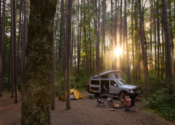
Camping
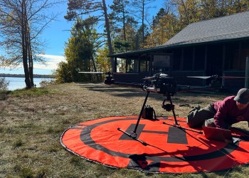
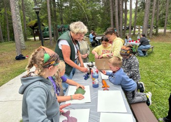
Outdoor Science
Timber Sales

Maps and Guides

Memorial Tree Area