
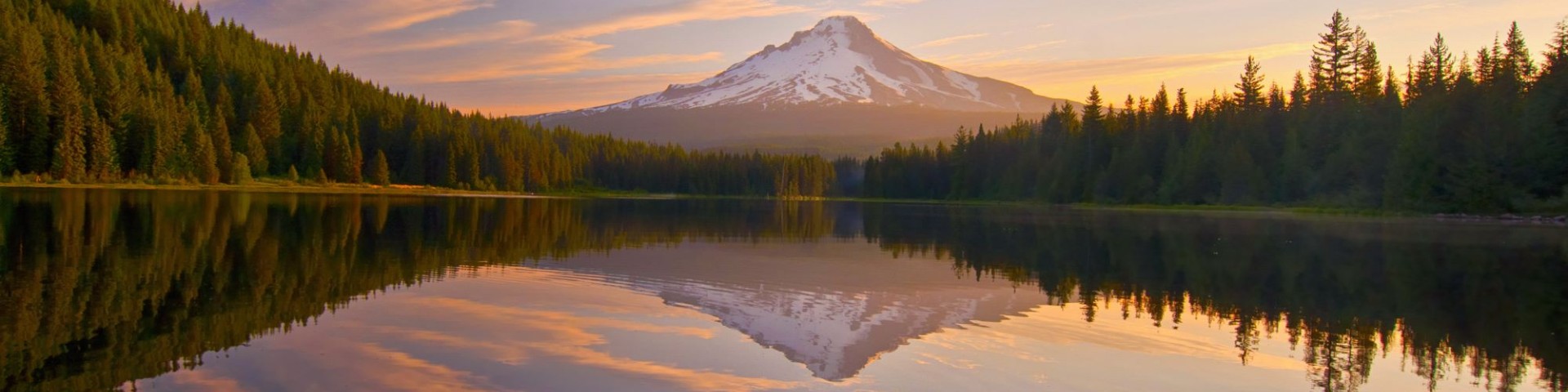
Welcome to Mt. Hood National Forest
The Mt. Hood National Forest encompasses 1.1 million acres. There are four ranger districts on the Forest that include a wide variety of ecosystems centered around Mt. Hood, the tallest mountain in Oregon: Barlow, Clackamas River, Hood River, and Zigzag Ranger Districts. This volcanic mountain is 11,125 feet tall and beloved across the state. The Forest has about 80 campgrounds, 20 sno-parks, and several commercial ski resorts including the iconic Timberline Lodge, a National Historic Landmark. Approximately one-third of the Forest is designated wilderness. The Forest also provides about one-third of the state's drinking and agricultural irrigation water.
Plan Your Visit
Cutting Firewood
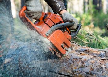
Firewood season is open April 15 to November 30, 2025. Firewood cutters are required to have a valid firewood permit along with load tags, firewood cutting map, and a current firewood information sheet.
Recreation Residences
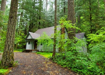
Mt. Hood National Forest is home to 549 privately-owned recreation residence cabins dating back to 1915. Current and future cabin owners have certain regulations they must follow.
Firearm Use

Target shooting is allowed on the national forest when done safely and with respect to the land and forest property. It is your responsibility to know all firearm regulations.
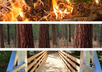
Rec Event & Outfitter/Guide Open Season

Looking to host a recreation event on Mt. Hood National Forest in 2026? Are you an outfitter or guide wanting to provide services to visitors? We're accepting special use permit applications for recreation events and for outfitters & guides from September 1 to November 1.
Northwest Forest Plan & Amendment
The Northwest Forest Plan covers 24.5 million acres of federally managed lands in California, Oregon, and Washington. It was established in 1994 to address threats to threatened and endangered species while also contributing to social and economic sustainability in the region. Over 30 years later, the Northwest Forest Plan needs to be updated to accommodate changed ecological and social conditions.

