

Welcome to the Beaverhead-Deerlodge National Forest
The forest supports communities with timber, minerals, grazing lands, and stunning scenery that invites endless recreation. From trekking the Anaconda-Pintler or Lee Metcalf wilderness areas to driving the Gravelly Range Road or Pioneer Mountains Scenic Byway—or simply camping beneath the pines—the Beaverhead-Deerlodge offers adventure in every direction.
Recreation

Discover campgrounds and popular sites for outdoor adventure with a wide array of recreation options.
Book a cabin

Find a cozy retreat in a beautiful setting and discover public lands in through a historical lens.
Get permits
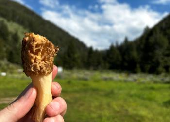
Harvest firewood, Christmas trees, mushrooms, and more.
Explore safety & ethics
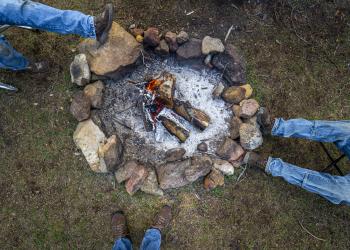
Discover tips for coexisting with our furry friends, winter recreation, campfires, and more.
Recent news

Keep up to date on the latest information.
Have a question?

Let us know how we can help