
Welcome to Chequamegon-Nicolet National Forest
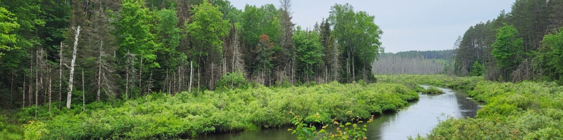
The Chequamegon-Nicolet National Forest covers more than 1.5 million acres of Wisconsin's Northwoods. The USDA Forest Service manages the land for multiple uses including forestry, wildlife habitat, recreation, harvesting of forest products, fisheries, and wilderness and natural areas.
The Chequamegon side of the forest covers about 858,400 acres in Ashland, Bayfield, Sawyer, Price, Taylor, and Vilas counties, while the Nicolet side of the forest covers nearly 661,400 acres in Florence, Forest, Langlade, Oconto, Oneida, and Vilas counties.
Orders of the Forest Supervisor
As a visitor to the National Forest, you are asked to follow certain rules designed to protect the Forest and provide public safety for visitors. The Forest's general occupancy and use restrictions were newly updated in September 2025. Check for current forest orders before every visit.
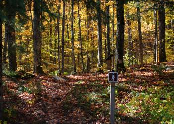
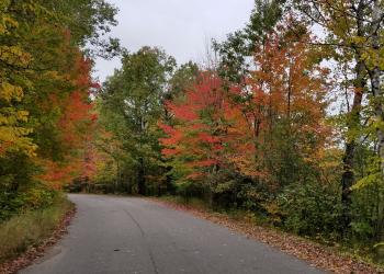
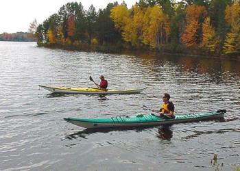
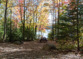
Recreation Opportunities
Camping and Cabins
Passes and Permits
Maps

Outdoor Safety

Timber Sales

Volunteering


