
Current Conditions
Interactive Alerts and Notices Map
This map is used to communicate closure locations on the Chequamegon-Nicolet National Forest to the public. This includes
- locations of construction closures,
- trail closures,
- emergency closures and
- forest order closures.
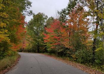
Accessibility of the various roads and trails on the Chequamegon-Nicolet National Forest depends on the time of year and the weather. Unpredictable events of nature can produce road hazards which may not be cleared upon your arrival. Please make sure to check conditions before visiting by calling the Ranger District Offices and checking a free motor vehicle use map.
To view active Forest Orders and forest-wide occupancy and use restrictions, please visit the Alerts page.
Wildfire and Prescribed Fire
Fire Information

Planned Prescribed Fires

Weather and Road Conditions
Wisconsin 511 Road Conditions
Weather Forecast

State Issued Alerts and Conditions
Beach Closings and Advisories

Snowmobile Trail Conditions
